Staithes is an inimitable place. It’s a place close to my heart and a place close to my good friend Gloria Wilson’s heart.
Over the past few years both Gloria and myself have been working on a book about Staithes. Gloria writing, me helping to digitise the vast collection of her images from over the years and myself and Gloria visiting and researching. It’s been a true pleasure to do so and I’d like to thank Gloria for allowing me to be part of the process.
The book, using her images (a few of her mother Lilian Colbourn’s images and two of mine), her mothers paintings and her own artwork, looks at the village in a deeply personal and indeed a psychogeographic way. The character of the place. It’s “Staithes-yness”
Thanks to publisher Lodestar Books this massively important work is now printed and will be available from Thursday 6th October 2022.
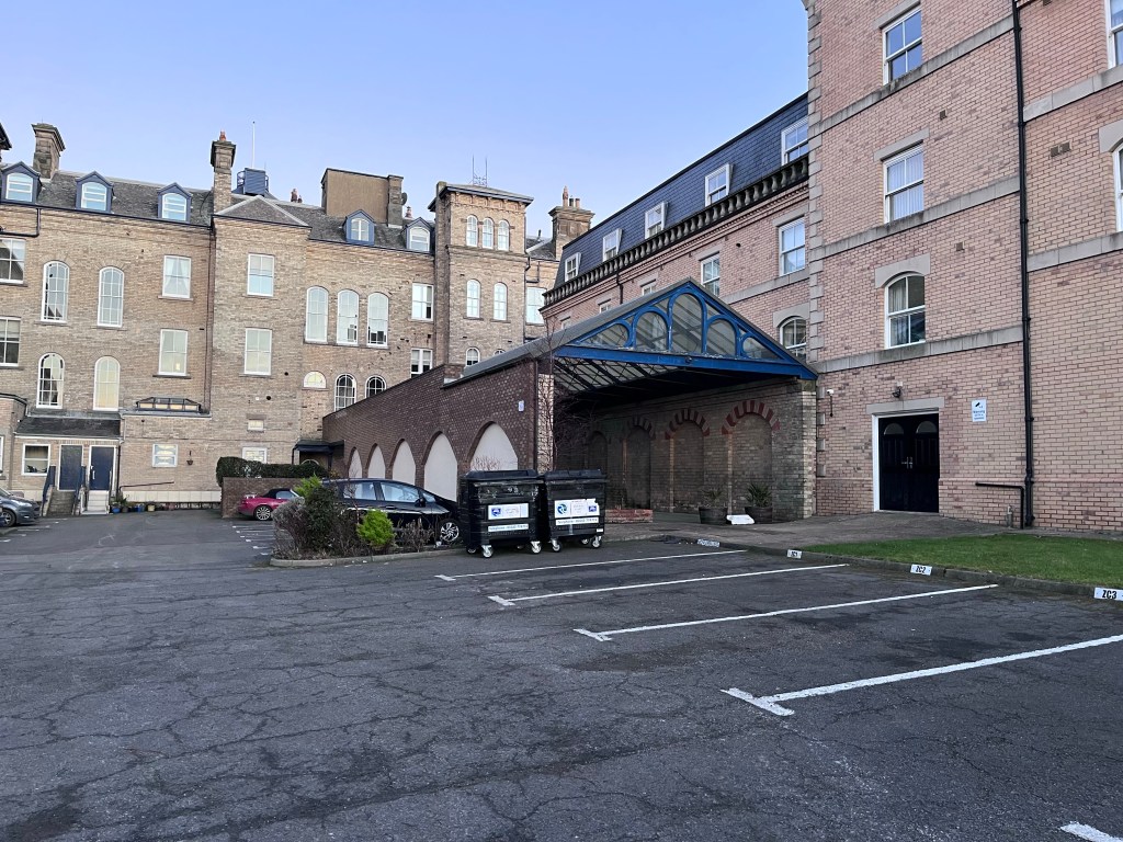
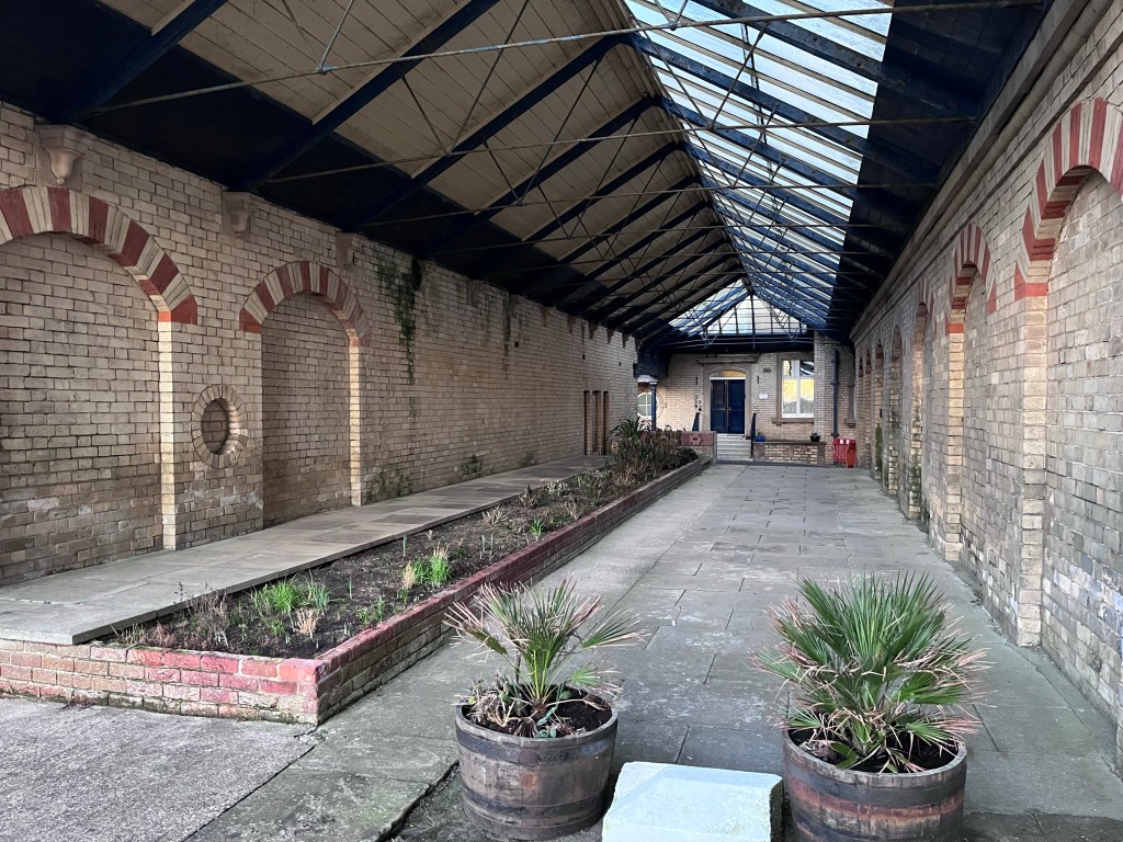
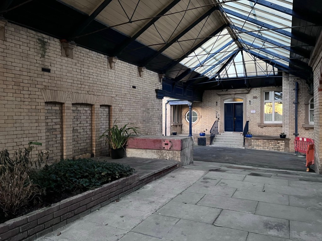
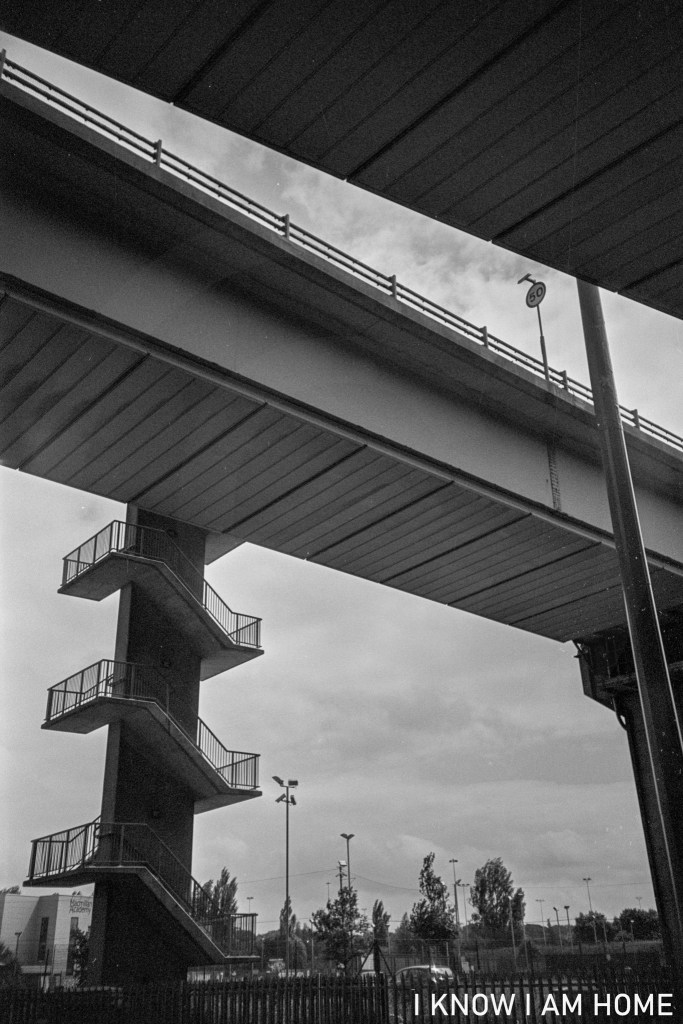
Saltburn Railway Station was somewhat grander than the island platform affair we see today. As seen in the previous post on this site.
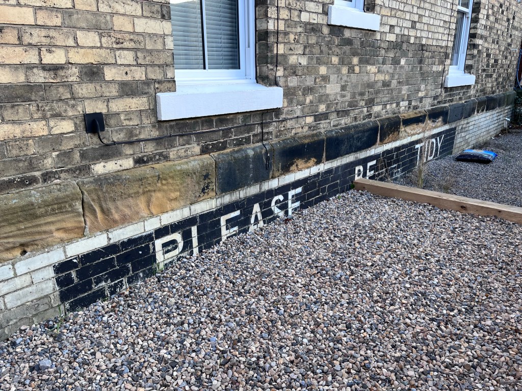
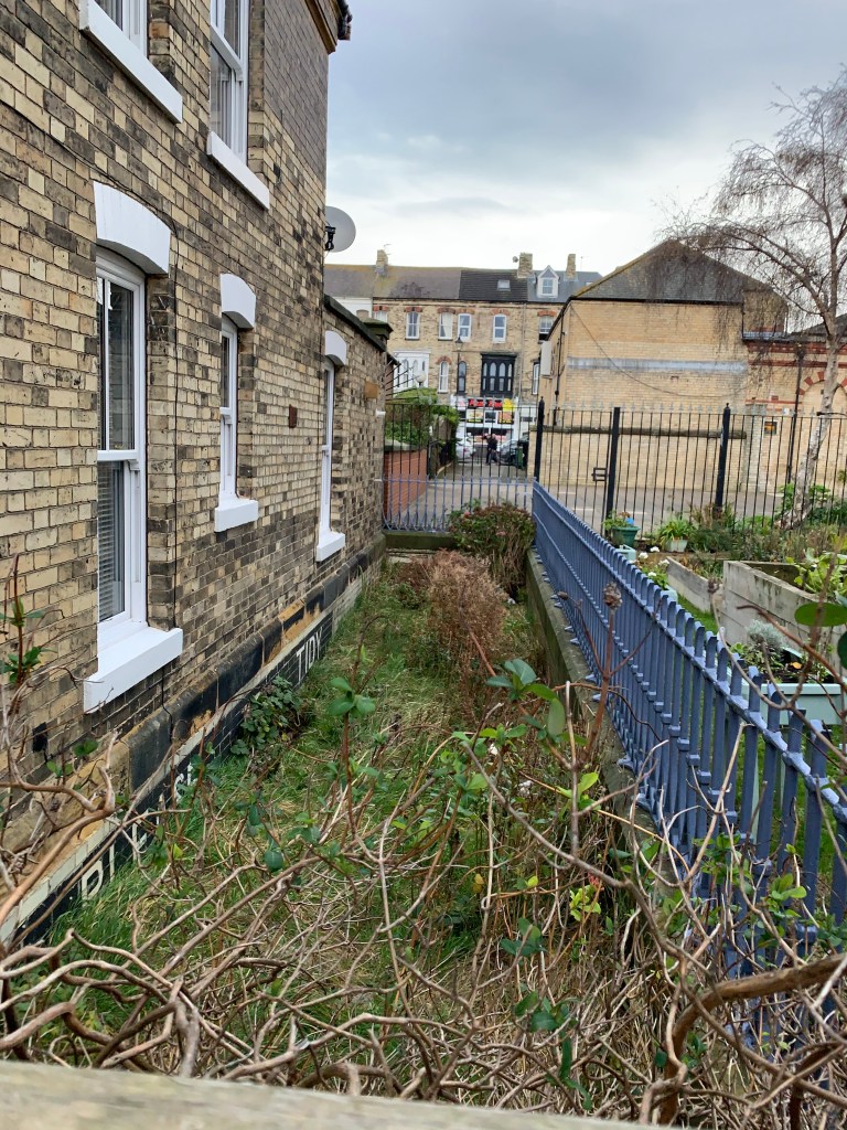
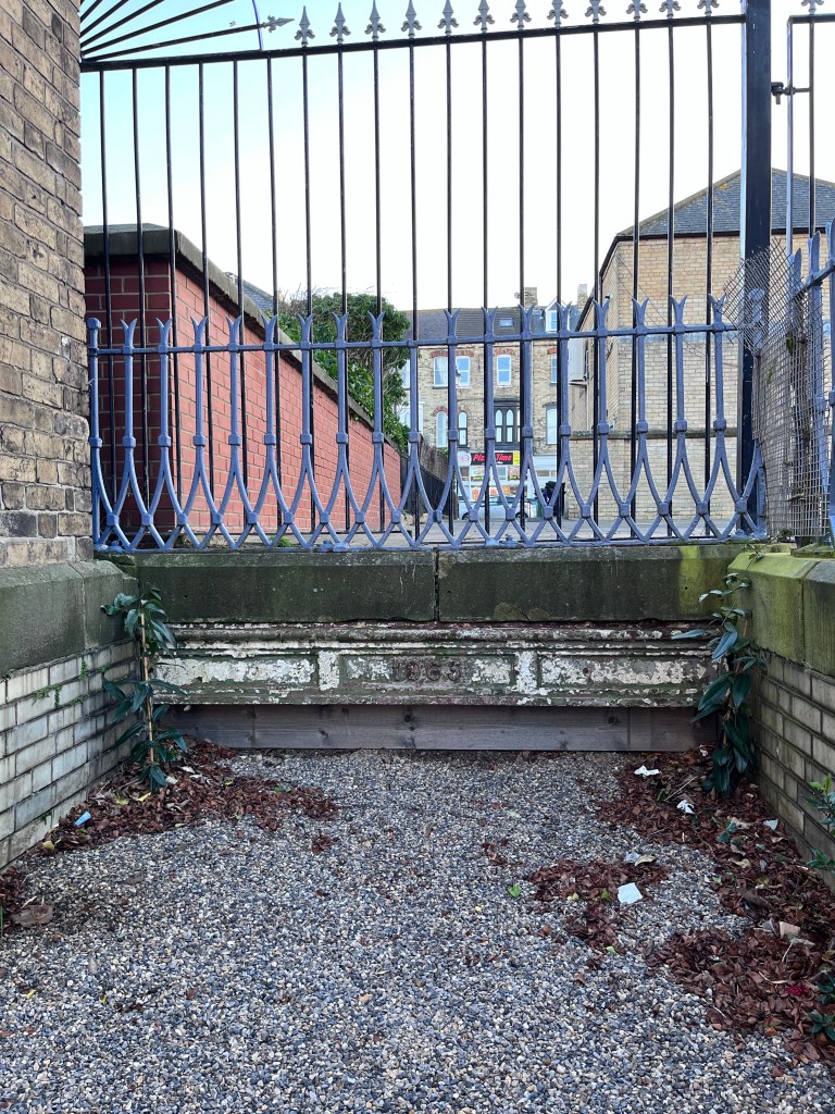
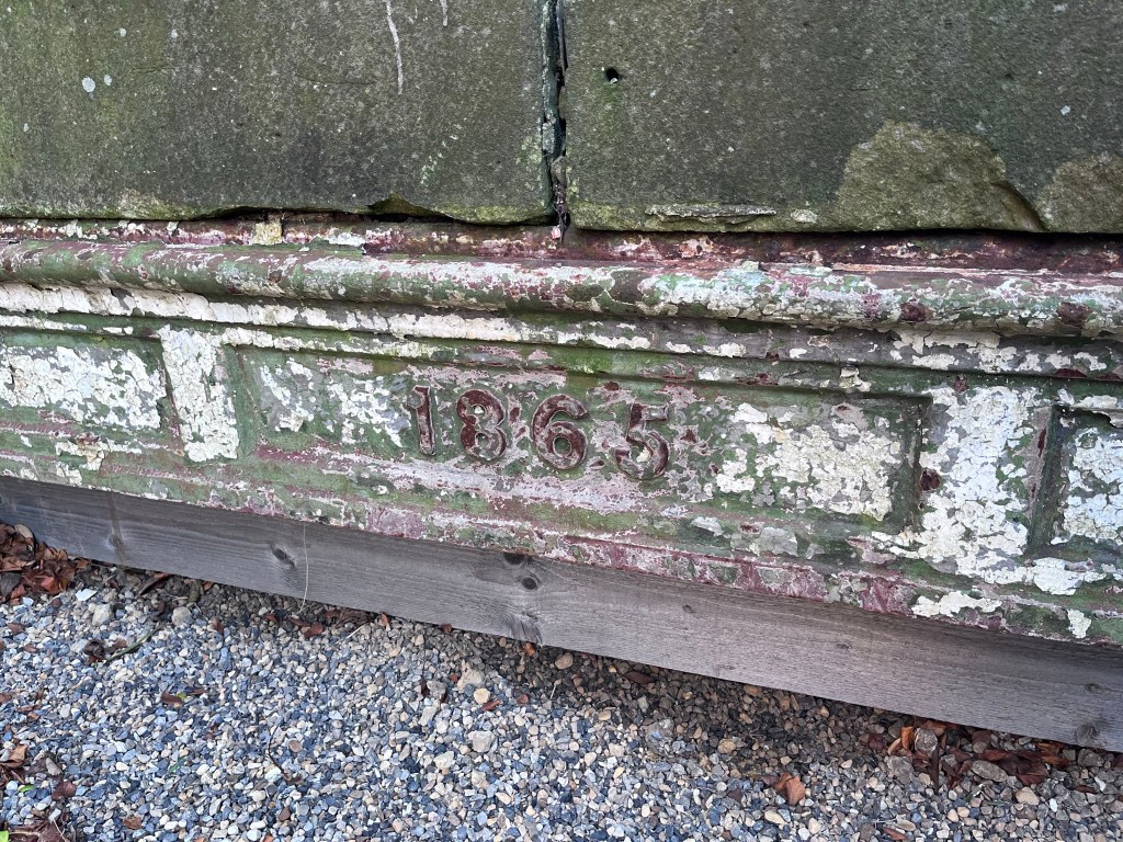
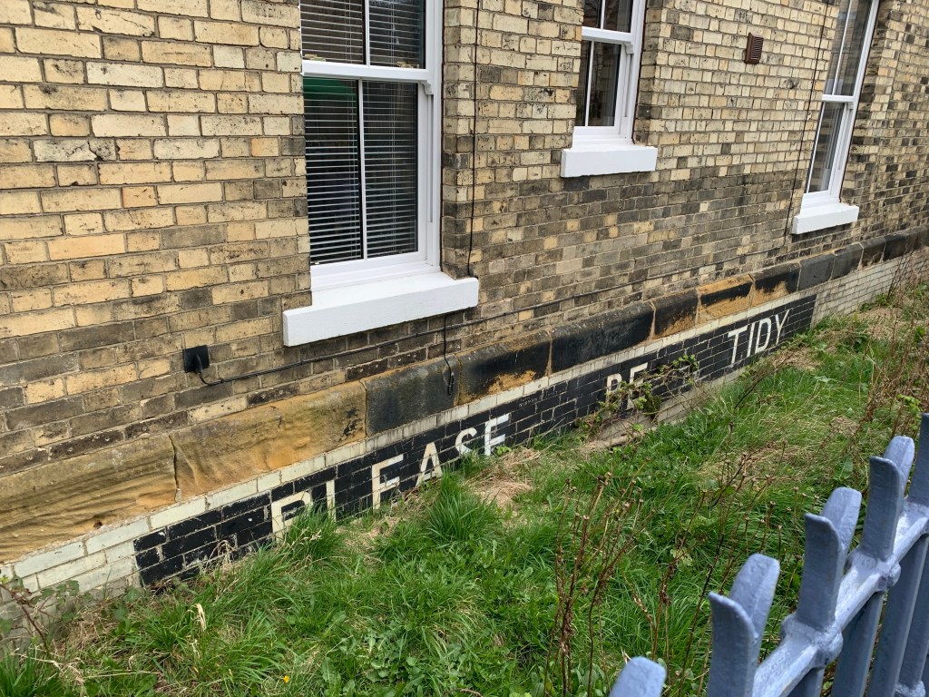
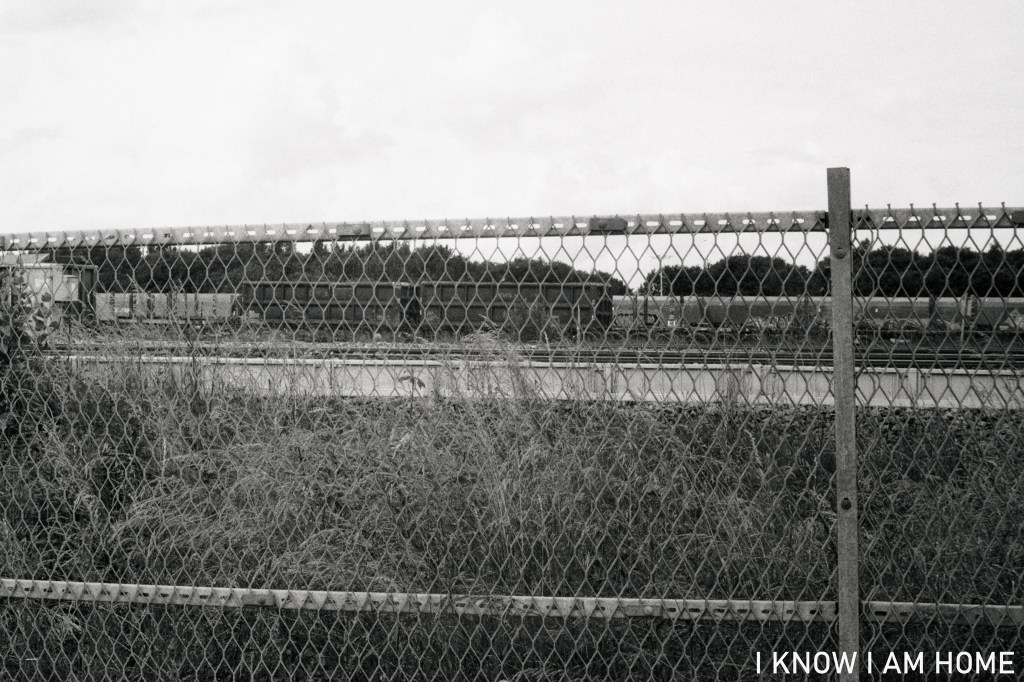
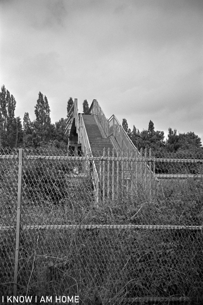
Part of the station up until the early 1980s was a subway from Milton Street to Dundas Street under the railway lines.
The date stamp on the beam indicates the subway was put in place in 1865. It was filled in during the development of the shopping precinct around the railway station in 1983, after the railway lines extending beyond the current station were removed in the 1970s.
The “Please Be Tidy” signage which remains has become a somewhat cult symbol with merchandise available based upon it.
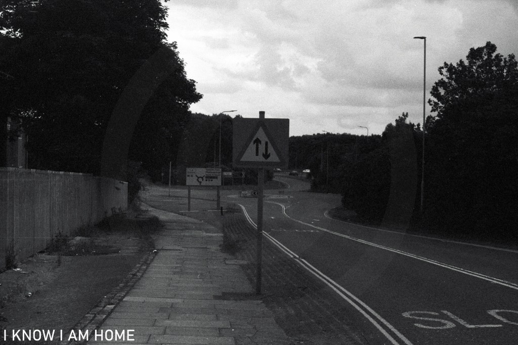
Today Stockton Road, running from Newport to the Mandale triangle, can be quiet. This stillness and vacuity broken momentarily by the passing of the scheduled stopping bus services between Middlesbrough and Stockton, by often speeding cars taking advantage of the long straights of the road or by trains passing by.
Bus Stop Wilderness Road (04/07/2021) Camera: Fed 4 Lens: Industar-61 Film: ORWO N74+ Developed In: Compard R09
The Mandale end of the Wilderness Road, in the area pictured below, was surrounded by two areas of brewing industry, marked on an OS map published in 1899 as the North Riding Malthouse and Brewery, however in a larger scale map published in 1915 just one side of the road is taken up with the malthouse of the North Eastern Brewery.
Brewery Bank Thornaby (04/07/2021) Camera: Fed 4 Lens: Industar-61 Film: ORWO N74+ Developed In: Compard R09
The road was built between 1856 and 1857 after a bill was passed to authorise the construction of the road through “the wilderness” of reclaimed marshland. Indeed Stockton Road is often referred to as The Wilderness Road. In the 1930’s the road was improved after complaints about potholes and precarious tram lines.
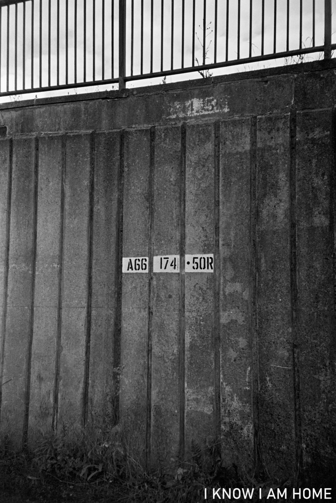
A former popular road being the main and most direct route between Stockton, South Stockton (Thornaby) and Middlesbrough the road has been superseded now by the A66, with most traffic not needing to access the few businesses along The Wilderness Road.
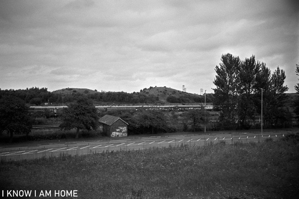
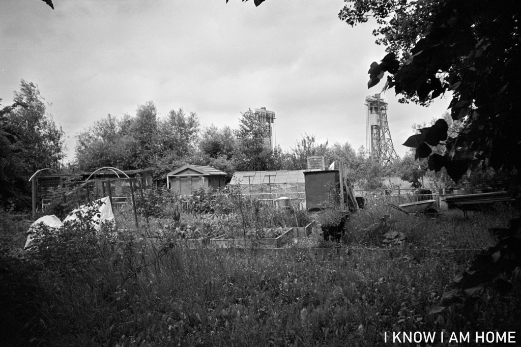
Back before the expansion of Tees Marshalling Yard (which has changed in operation beyond recognition and the associated traction maintenance depot demolished) and the movement of the main passenger running lines there was the small community of Erimus, with its public house rows of houses and allotments, sitting around the area of the railway yard “viaduct”.
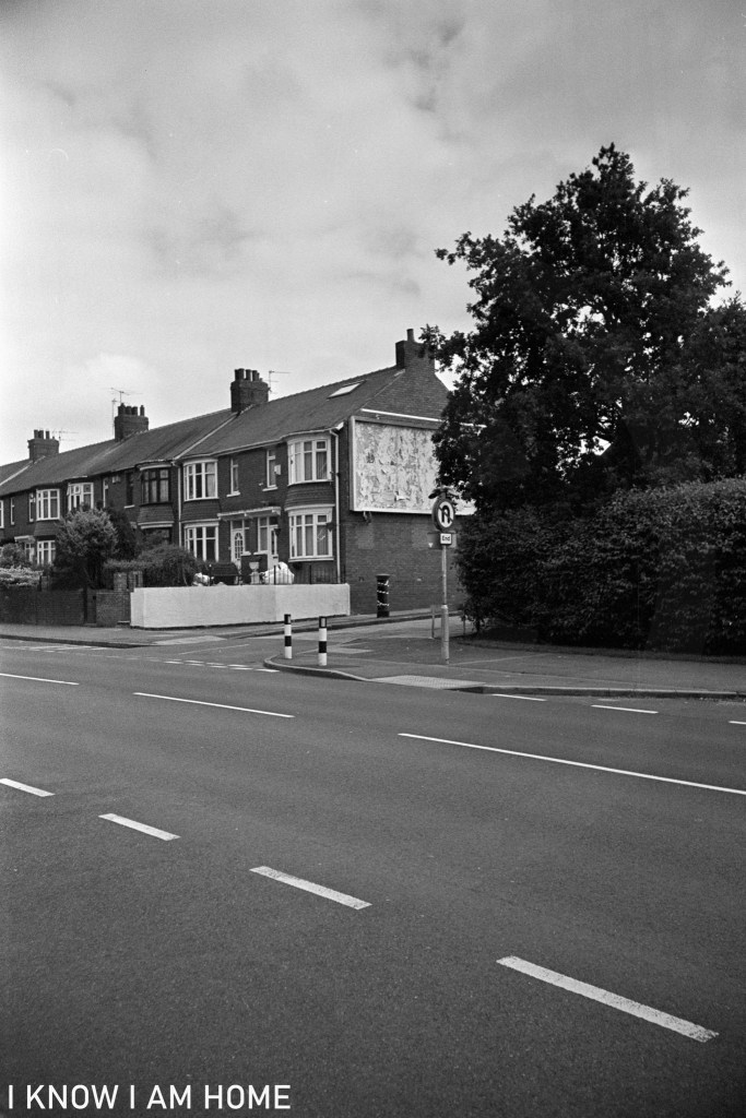
Once you’ve passed the academy, if you’re travelling from Thornaby toward Middlesbrough, the sight of Newport Bridge through the trees, the start of the terrace dwellings and the “blind school” herald the end of the wilderness road.
A market at Stockton on Tees can trace its history back to the early 1300’s, when the then Bishop of Durham granted a Market Charter; “to our town of Stockton a market upon every Wednesday forever”, back then there was a castle in Stockton, sitting near enough where the Swallow Hotel and Castlegate Centre car park is.
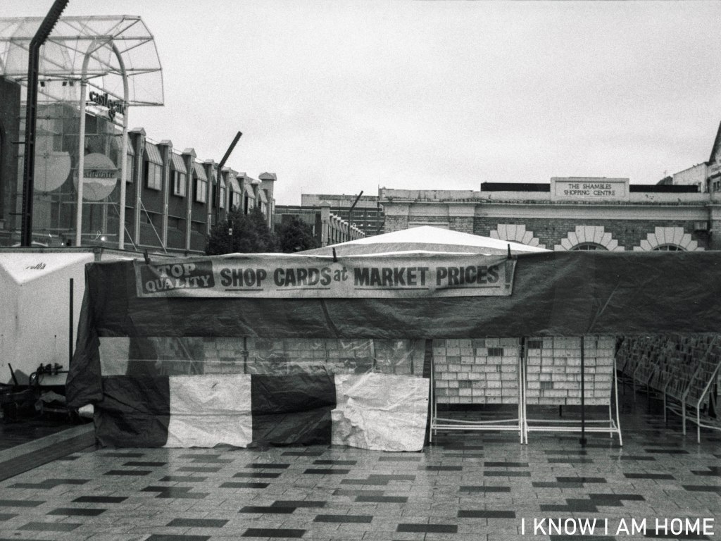
Shop Cards Stockton on Tees (26/07/2021) Camera: Chaika II Lens: Industar 69 Film: Maco Macophot UP100 Plus Developed In: Ilford LC29
The bishops and their underlings in the castle at the time would’ve taken tolls not only from the market sellers but from any goods which were brought into the town. Unlike the present market livestock would also be sold. That was until 1875 when the cattle market was moo-ved (get it?) to the site of the present day library finally closing in 1959.
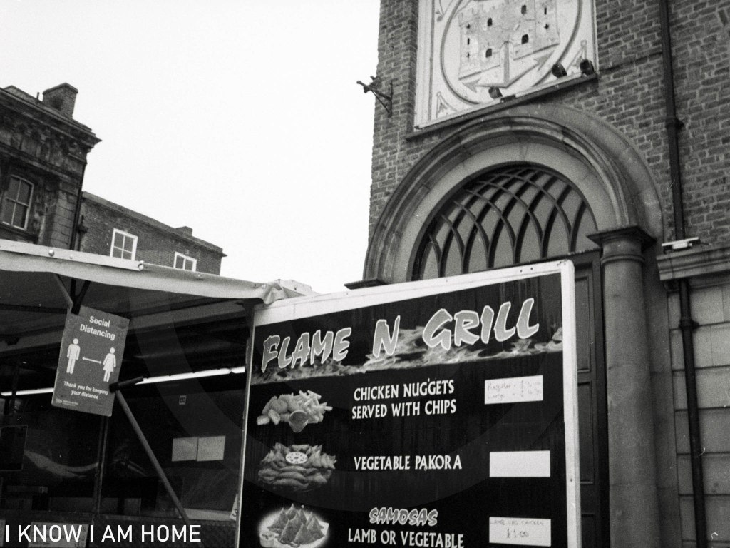
Flame and Grill? Stockton on Tees (26/07/2021) Camera: Chaika II Lens: Industar 69 Film: Maco Macophot UP100 Plus Developed In: Ilford LC29
The market has undergone a lot of changes over the years, mainly to its placement in the high street, and there are set perhaps to be more changes. Soon the Castlegate Centre will be demolished in a bold and ambitious plan to open up the high street to the riverside known as “Stockton Waterfront”. This also means creating a tunnel for the road which currently runs through adjacent to the river.
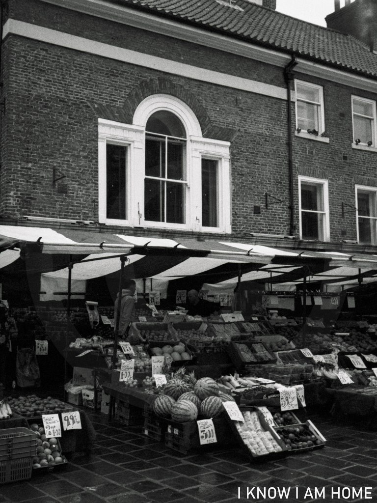
Weigh and Measure Stockton on Tees (26/07/2021) Camera: Chaika II Lens: Industar 69 Film: Maco Macophot UP100 Plus Developed In: Ilford LC29
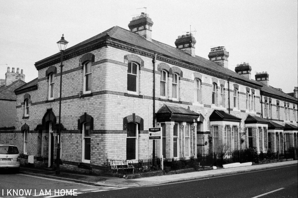
Completed circa 1865 this terrace of six houses was part of George Dickenson’s plan for the seaside town. Dickenson was the winning surveyor and was employed by the Saltburn Improvement Company to draw up a plan for the town. There were design codes imposed by Dickenson for the construction of the town, these stipulated the height of buildings, and building materials used (including the distinctive Pease facing bricks), though the Saltburn Improvement Company’s design codes did not extend to the architectural design of the building.
Some of Dickenson’s plan didn’t come to fruition however. It was planned that the cross roads now formed by Station Street, Windsor Road and Albion Terrace would be “Regent Circus”, a circle of buildings of which the Queens Hotel and the post office were the only actually built.
Warrior Terrace Saltburn by the Sea Camera: Olympus Trip 35 Film: Lomography Colour Negative 400 Developed In: Compard R09
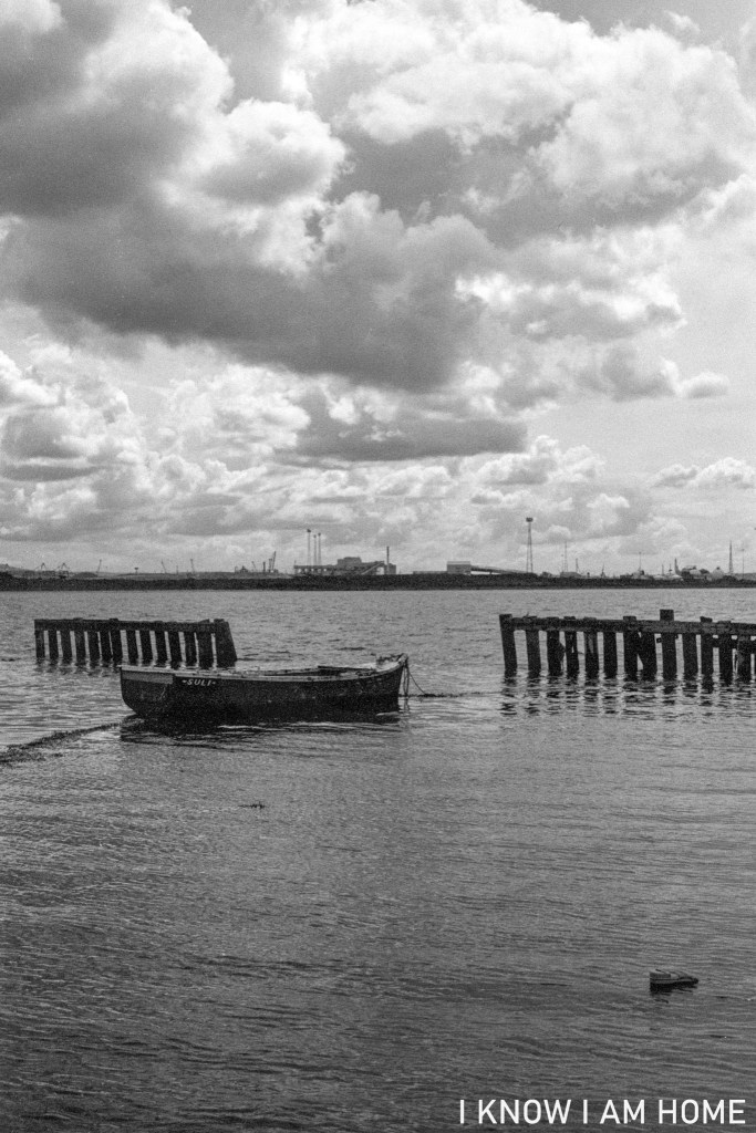
Given the boot… South Gare, Redcar (24/05/2021) Camera: Olympus OM2 Lens: Olympus OM System Zuiko 50mm F/1.8 Film: Fomapan 200 Developed In: Fomadon LQR
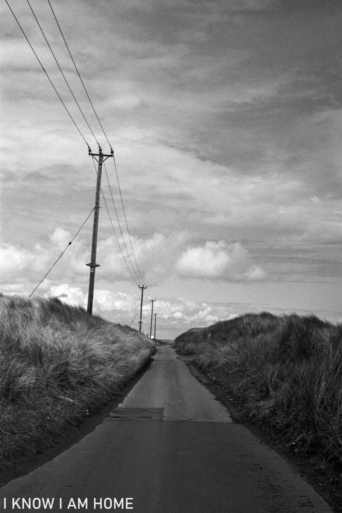
I walked from home to South Gare on the 1st May 2021. Taking photographs along the way. This one was taken before a long traipse through the narrow dune section of the road – because of having to stop to allow cars to pass me safely. I did manage to try this composition which I’ve wanted to for quite some time between cars.
Road to South Gare South Gare, Redcar (01/05/2021) Camera: Olympus OM2 Lens: Olympus OM System Zuiko 50mm F/1.8 Film: Ilford XP2 (shot as ISO 200) Developed In: Compard R09
This Vickers Machine Gun Pillbox is one of a number of defence structures on the breakwater at South Gare. Over the years shifting sands and coastal erosion has lead to the pillbox becoming dislodged from the original location and sliding down to the beach.
Pillbox South Gare, Redcar Camera: Zenit B Lens: Industar-50 Film: Kentmere 400 Developed In: ADOX Adonal
For obvious reasons during WWII this area was one which was well covered; with surviving anti aircraft gun holdfasts, a large gun emplacement toward the lighthouse, the former submarine mine depot (with its own pillbox) and a number of other pillboxes and wartime related structures. Perhaps more interestingly there is a petroleum warfare site which is now mainly hidden in the sand dunes.