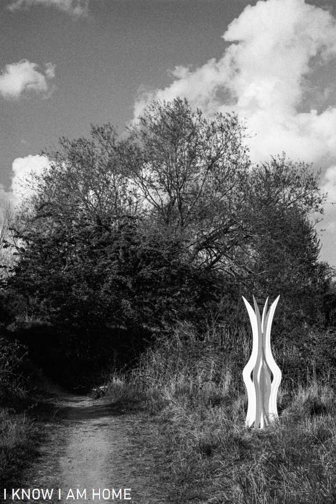
Part of a number of sculptures along the River Tees being installed to form a trail which will officially open later in 2021, this sculpture was recently installed near the bank of the Old River Tees.
Rewilding Old River Tees (28/04/2021) Camera: Olympus OM2 Lens: Olympus OM System Zuiko 50mm F/1.8 Film: Ilford HP5 plus Developed In: Ilford LC29
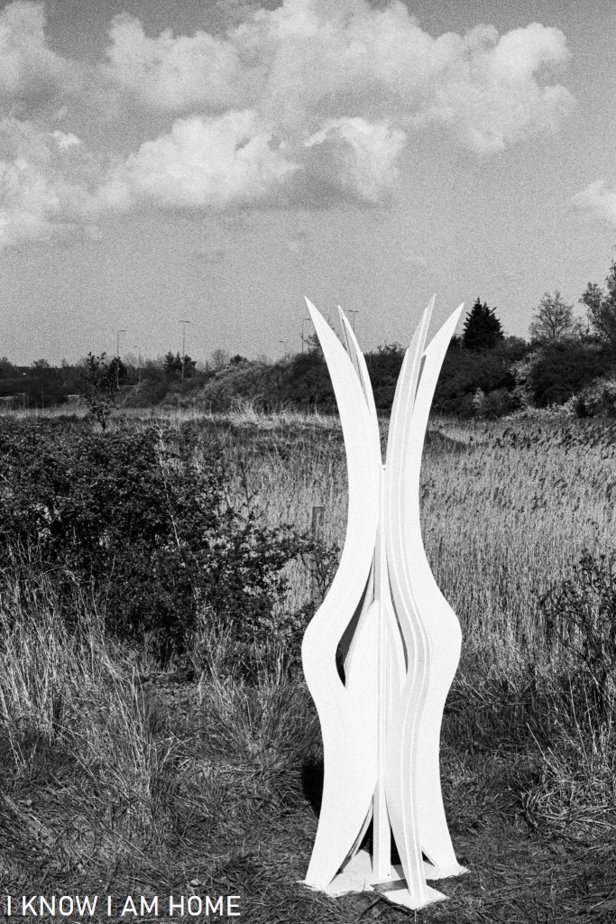
Inspired by how the location here has been reclaimed by nature this striking white sculpture by “infinite…”, with it’s form mimicking the flow of water on the River Tees’ former meander and that of reeds and long grass.
Interlocking Old River Tees (28/04/2021) Camera: Olympus OM2 Lens: Olympus OM System Zuiko 50mm F/1.8 Film: Ilford HP5 plus Developed In: Ilford LC29
I’m going to post a series of photographic posts looking at what has come to be known as the “Old River Tees” a stretch of what was once (perhaps now unbelievably) part of the River Tees’ route into Stockton, which at the time was a fast developing port.
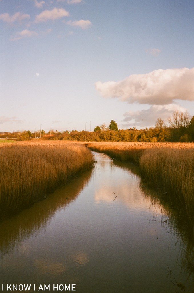
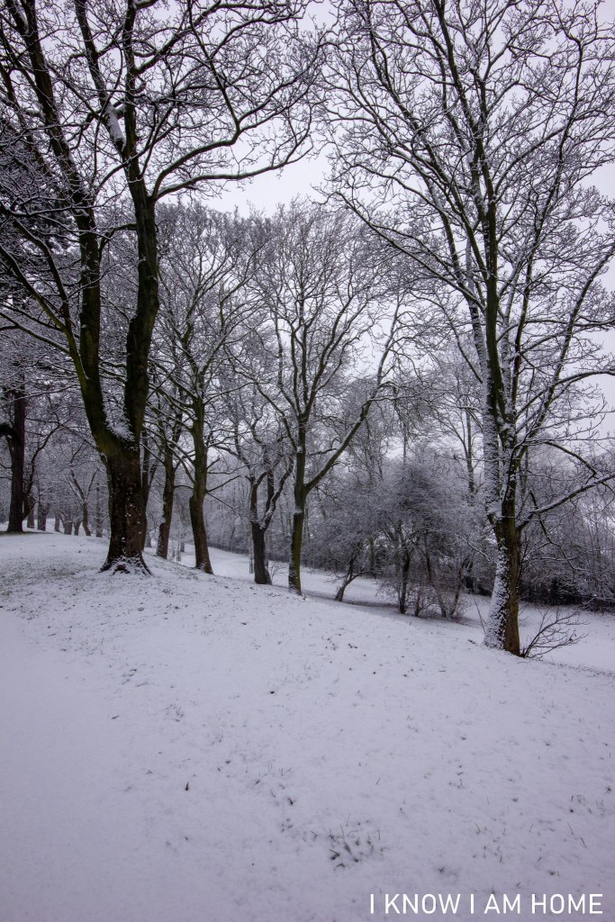
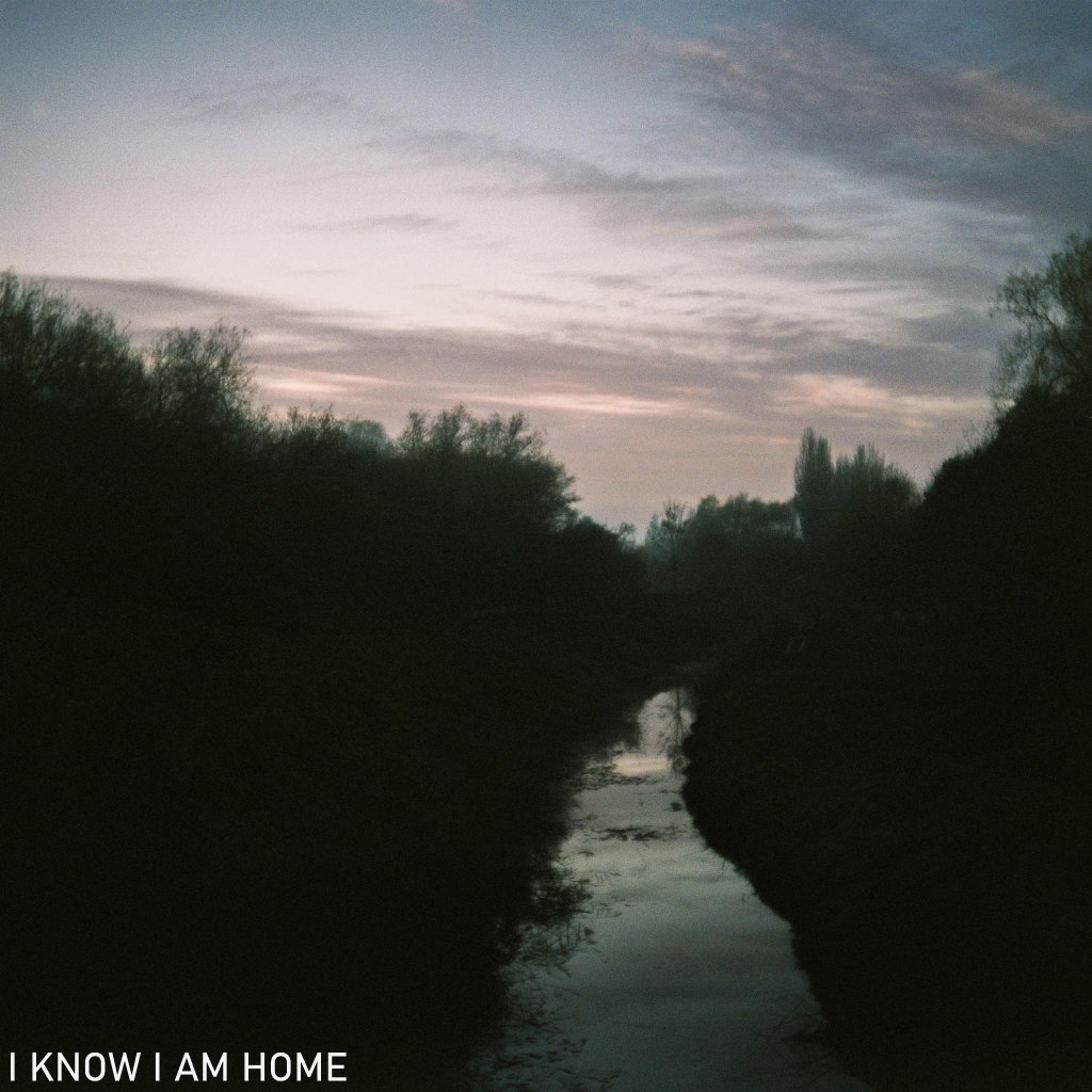
High Tide The Old River Tees (25/02/2021) Minolta AF-DL Fujifilm Superia Extra 400
The implausibility today (there are still people who I see on my walks along here who are unaware that this was the river, and not just a silted up tidal stream or tributary) is partly why the cut was necessary. The removing of the lengthy loop was initially proposed in the early 1790’s. The “Old Cut” as it came to be known, which was just over 200 yards, was in order to save sailing cargo vessels negotiating the two mile meander of the Tees here.
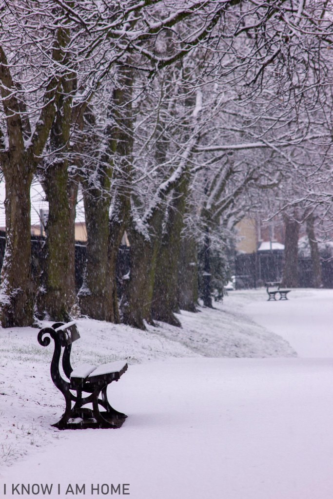
Low Tide The Old River Tees Chaika II Industar-69 Ilford XP2 Super
Even now without the sheer volume and force of water compared to days before the cut was made the waterway here still silts up, imagine what it would have been like as the tide receded in the days of sail and oar!
My (admittedly poor and not to scale) drawing shows the layout of the river here before the making of the cut. The obvious point being sailors could see the river they were travelling toward despite having to take some two miles of detour to get there. The old cut started and finished either side of the current location of the Tees Barrage. A further cut was made (and seen to the right of the Old Cut in my drawing) to eliminate a shorter meander at Portrack.
Often the vessels would not sail the stretches, rather they’d be hauled by large ropes in a process known as “tracking”, traversing the hazardous tidal stretches, which often became silted up. This not only allowed Stockton to flourish as a port and shipbuilding centre but it meant that the North Riding of Yorkshire acquired the land of the Mandale Marsh’s, which is now occupied by Teesside retail park and the golf course…
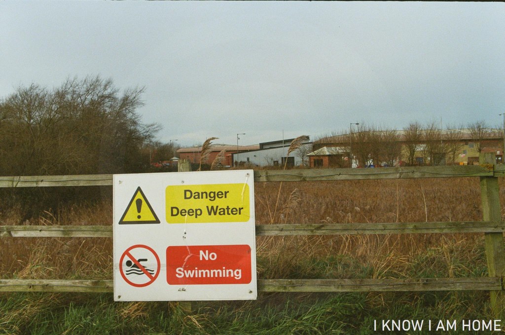
This section of the old river, from the tidal structure at the point of the above images to the start of the cut near the Tees Barrage remains fully tidal and is joined by Stainsby Beck (The Fleet).
Despite the clear need for the cut to be made in the Tees it would not be until 1810 however that the cut was completed and the Mandale meander was severed. Mainly due to objections by Lord Harewood, who owned land on the Yorkshire side of the river. He was concerned that his grain mill and associated river-side storage and business would be adversely affected by the change. Compensation was eventually offered and Lord Harewood agreed the cut.
Another cut in the Tees was made close by, known as “New Cut” this one removed a shorter meander which took in much of the land under Portrack Lane’s ASDA / industrial / other retail sites, encompassing the still existent Portrack Marshes.
The deviation of the river meander upstream was at a point under the current A19 Tees Flyover, with the cut being made between that point and a point near to the white water course (with the river originally carrying on as shown above to the Mandale meander). Both of these cuts removed around 4 miles from the river.
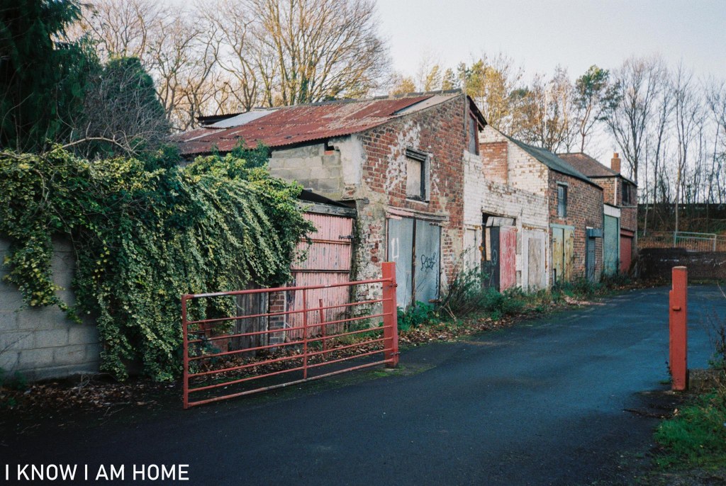
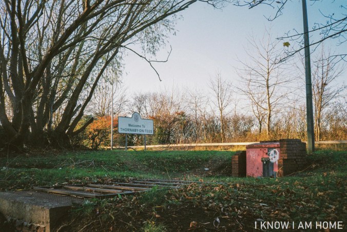
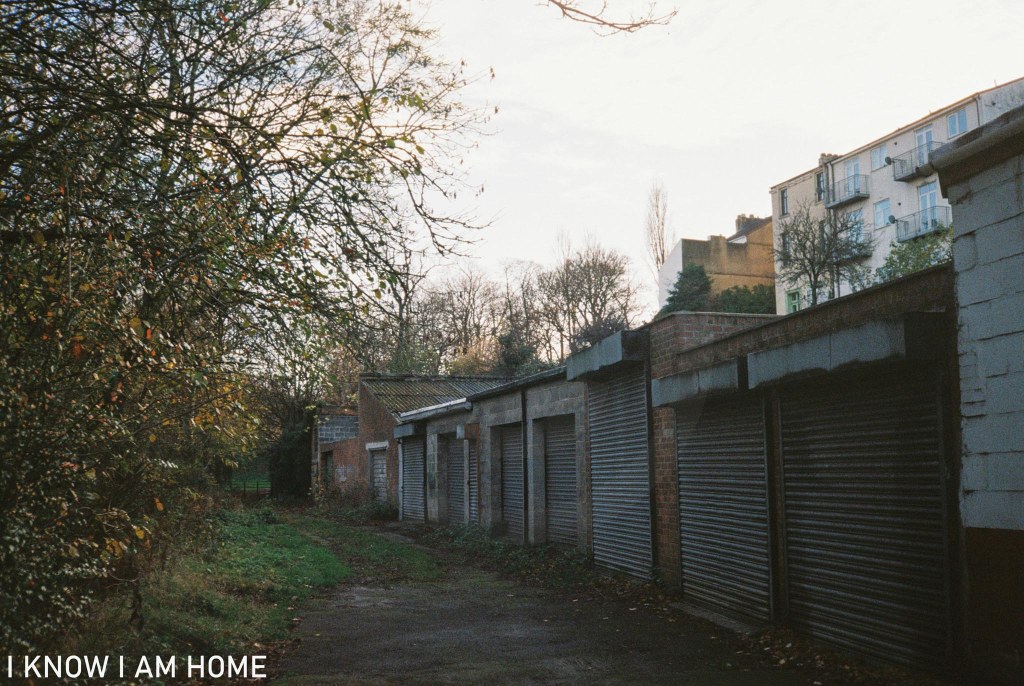
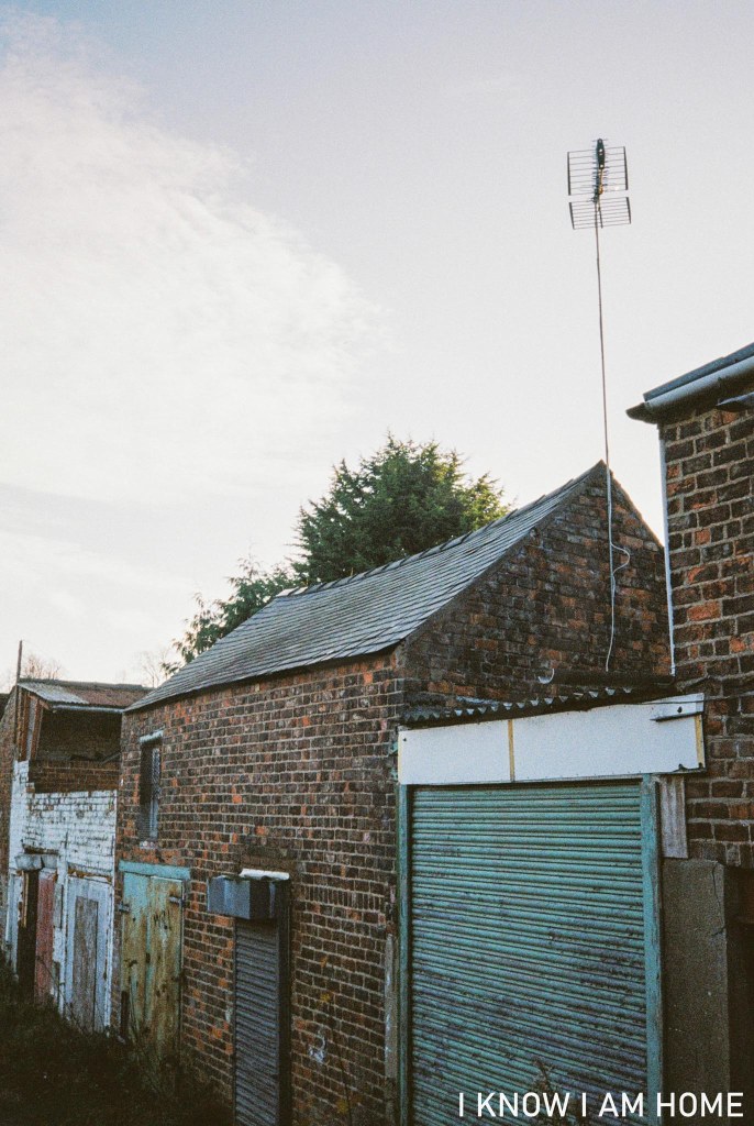
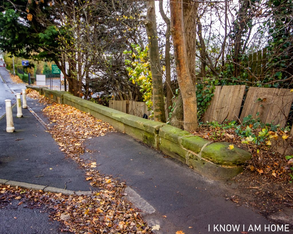
Old Sheds Thornaby (25/11/2020) Minolta AF-DL Lomography Colour Negative 400
To the rear of Acklam Road, by the old River Tees there’s a collection of sheds and buildings. Some in use, some not. Some old, some look newer. Waterside buildings here appear on maps from the 1890’s, and the above selection are certainly on maps published in 1915. These are near the Harewood Pleasure Gardens which can be seen in the background and I believe one of these sheds was used by the gardeners for the park.
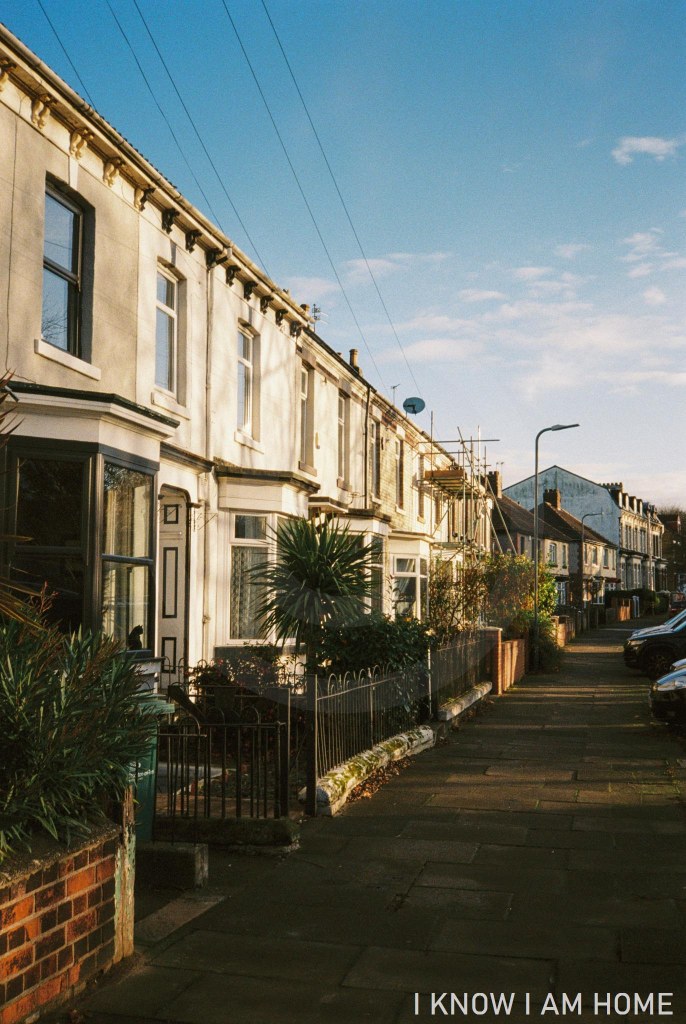
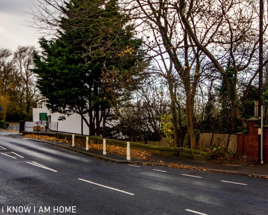
Slightly higher, at the level of Acklam Road are these houses which sit affront the sheds by the old river. Where Acklam Road curves slightly to the left now if travelling toward Stockton it would have originally carried on past these houses.
Split the town in two Thornaby (25/11/2020) Minolta AF-DL Lomography Colour Negative 400
The construction of the A66 meant that Thornaby was in essence cut in two, actually more than that a lot of it was destroyed. The view above would have been quite different, a large building would have been occupying the scene here, with more terrace houses behind and garages and further workshops to the right.
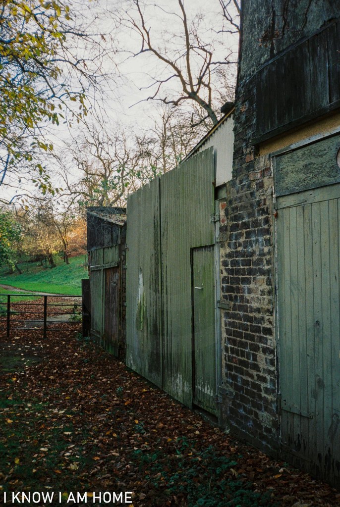
A mix Thornaby (25/11/2020) Minolta AF-DL Lomography Colour Negative 400
In the above image it’s hard to imagine how just to the left is the old River Tees… Equally difficult to envisage now is the sight of sloops and other coastal craft moored or making the passage to Stockton. One of the reasons this is no longer the course of the Tees is that making passage to Stockton was very difficult, this tidal stretch was said to be riddled with hazards and became silted up regularly.
I leave you with an image taken of the buildings closer to the hill back up to Acklam Road, I love the flowing lines of old buildings, in some cases no longer conforming to right angles.
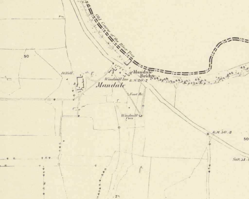
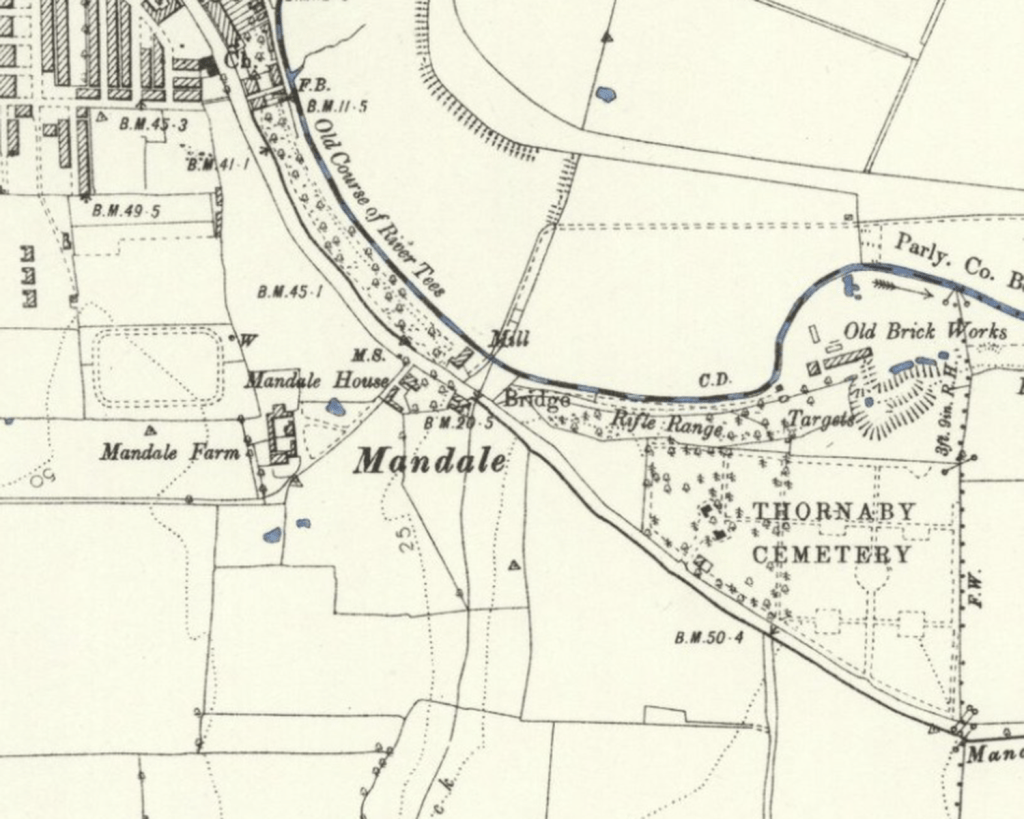
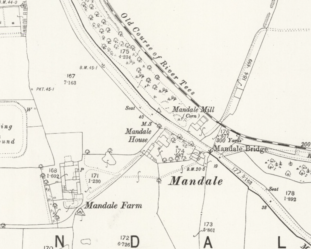
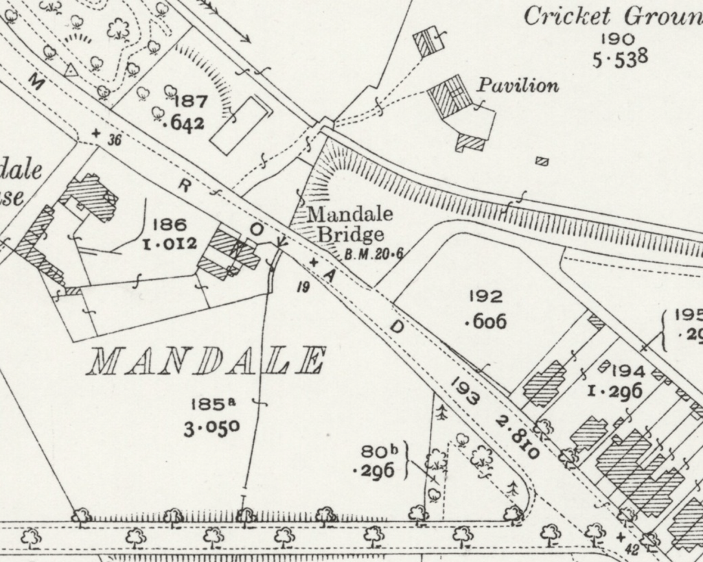
The area around Mandale Bridge was home not only to a mill, but an inn and Mandale Farm.
The Golf Club buildings now stand on the site of one of the mills here…
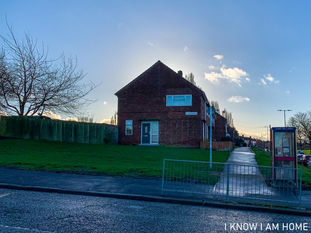
In a map surveyed in 1853, a windmill is sited at a point which would now be on Littleboy Drive in Thornaby. The map also includes a public house named the “Windmill Inn”, sitting at a point which we could now reconcile as being on the grounds of Mandale House Care Home.
Reproduced with the permission of the National Library of Scotland, under the Creative Commons Attribution-NonCommercial-ShareAlike 4.0 International (CC-BY-NC-SA) licence.
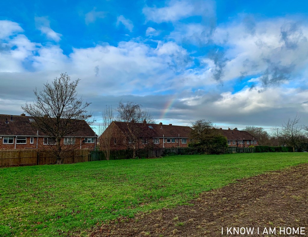
The windmill would have stood at a point just beyond the central property of the middle row of houses on Littleboy Drive, about in line with the rainbow!
Despite the thought that the windmill was the result of the cut being made in the Tees resulting in the water mill becoming unfeasible, research of maps and other contemporary evidence shows that this most likely is not the case.
Back in the mid 1850’s the view here would be quite different, with a windmill dominating the scene where Littleboy Drive now stands…
Reproduced with the permission of the National Library of Scotland, under the Creative Commons Attribution-NonCommercial-ShareAlike 4.0 International (CC-BY-NC-SA) licence.
In a map dated as being surveyed in 1892 the windmill is gone; however a trigonometrical point is listed roughly where the windmill would have been.
Also on a larger scale 1892 map the building by the old River Tees is displayed as a corn mill, the next available map of the same scale does not show the building listed as a mill at all.
Reproduced with the permission of the National Library of Scotland, under the Creative Commons Attribution-NonCommercial-ShareAlike 4.0 International (CC-BY-NC-SA) licence.
The lack of a mill in subsequent maps and the change of locations could be explained by some of the factors below, you see mills around the Mandale Bridge area also have a tragic and mysterious history.
In 1891 Mandale Mill was destroyed by fire. The Northern Echo of 6th May 1891 reports that the previous night the mill, owned by Lord Harewood but run by Mark Robinson, had caught fire. Despite the best efforts of the fire brigade the mill was gutted and lay in ruins. The mill at the time was said to have been powered by both steam and wind. It is unclear if this refers to the windmill, or the larger mill building by the old course of the river. However it is said that the building which was destroyed contained a considerable quantity of grain, and machinery which was also destroyed. This may explain why by the 1892 map the windmill is no longed mapped and the mill has moved to the building adjacent to Mandale Bridge.
On the morning of Saturday 20th May 1893 a body was found in the River Tees at Stockton. The body was that of Mark Robinson. Mr. Robinson was resident at Mandale Farm and had been nominated as a Justice of the Peace though at the time it was believed he did not qualify. Through subsequent research I have found he was a Justice of the Peace.
The land here, split by Mandale Beck, would’ve been farmed by those at Mandale Farm.
Aside from farming at Mandale Farm Mr. Robinson, a member of the Lodge of Philanthropy, was a partner of the timber merchants firm Robinson, Anderson & Co. which formed as a iron and timber producer in 1842, known as Robinson, Knights & Co., until being taken over by Mark Robinson and Charles Anderson around 1880.
Indeed in the Bulmer’s directory of 1890 Mark Robinson is listed as a timber merchant at Tees Saw Mills, farmer of Mandale, and Miller of Mandale Mill. More than this he was a former partner in a cabinet and furniture makers too.
An 1893 edition The Yorkshire Post tells us that the deceased left home at around 6 o’clock on the morning of Saturday 13th May, however The Yorkshire Herald says that particular week he had been rising at around 5.30 in order to stocktake at the mill. This morning he was seen by his farm foreman, and was seen in the village of old Thornaby soon after. When leaving home Mr. Robinson indicated he was going to the timber yard office.
Mandale Farm would have stood at a point between and over these two rows of houses on Balmoral Avenue.
His disappearance was solved tragically when his body was found in the Tees at Victoria Bridge at Stockton. A watch found in Mr. Robinson’s pocket had stopped at 6.20. However having been missing for a number of days, when exactly he entered the water is questionable.
The Yorkshire Herald of 23rd May 1893 tells us an open verdict was returned by the jury despite there being letters found indicating that Mr. Robinson was feeling depressed and expressed a feeling of wanting to end his life.
48 years of age he left his wife Margaret Robinson nee Garbutt, and three sons. The family who had been tenants of the Lords Harewood (Margaret’s family farming on Harewood land for generations) remained on Mandale Farm the 1901 census lists Margaret and her son’s Mark Robinson aged 23, Norman Robinson aged 19 (James Robinson aged 16 was boarding at an address in York for education).
Aside from this tragic story in later years a woman was found having died of exposure in the yard of the mill and in 1890 a former domestic servant of Mr. Robinson at Mandale Farm was murdered.
This land was donated to the people of Thornaby in 1906 by Lord Harewood (Henry George Charles Lascelles, 6th Earl of Harewood), the Lascelles family having links to Thornaby for a number of years, with Francis Lascelles purchasing Thornaby Manor in 1612.
Near to the course of the old River Tees (negated by Mandale Cut) is this bit of stonework, on one side of Acklam Road only. This is Mandale Bridge, Mandale Beck passing under in order to join with the Tees.
Mandale Bridge, Thornaby (15/11/2020)
The area indeed is to be found on OS mapping labelled as Mandale Bridge, with also Mandale Mill (a corn mill according to some maps) occupying the area where a white building can be seen in the background (currently a golf club building).
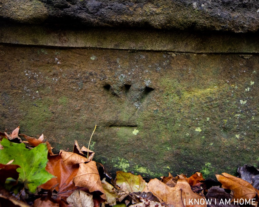
Benchmark, Mandale Bridge, Thornaby
Another Ordnance Survey link here is the benchmark which appears on the bridge, seen also on the map…
Reproduced with the permission of the National Library of Scotland, under the Creative Commons Attribution-NonCommercial-ShareAlike 4.0 International (CC-BY-NC-SA) licence.
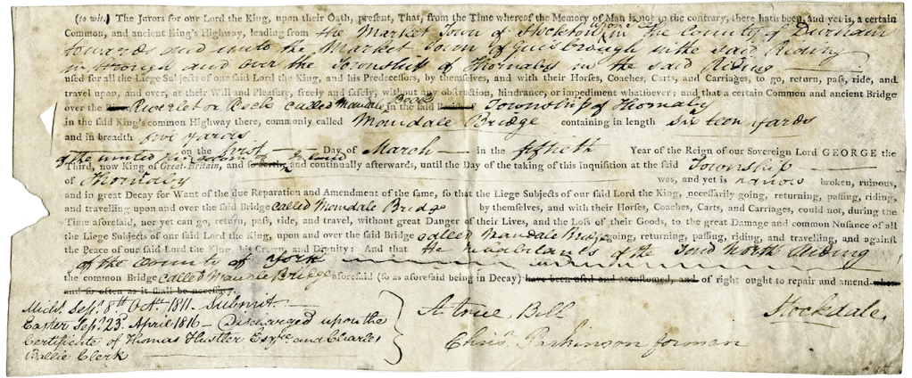
Back in the 1800’s the road here was the main road between Stockton and Guisborough. As seen in the following indictment from Quarter Sessions in the 1800’s.
From the North Yorkshire County Records Office (NYCRO) collection QSB 1816 2/6/14 reproduced here thanks to and with permission from NYCRO.
The indictment states that Mandale Bridge was somewhat neglected by those in the township of Thornaby, and had fallen into a ruinous state. Submitted in October 1811 it was then discharged upon the certificate of Thomas Hustler and who I assume to be the Right Worshipful Charles Baillie, Clerk and Archdeacon of Cleveland, in 1816.
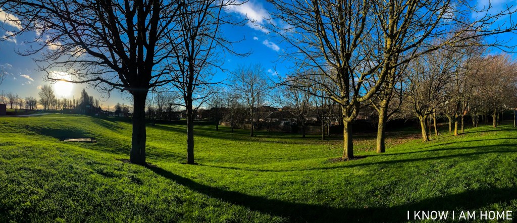
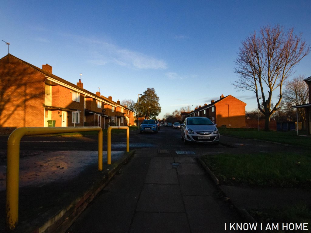
November (06/11/2020) Balda Bünde Baldixette Fuji NPH 400
These images were taken using a medium format camera, the camera used in particular takes photographs in a square format. It’s quite interesting to be honest to rethink composition in terms of a square, rather than a more rectangular view.
I chose a demanding situation to take these images in, but I did want a more moody subdued look. For that I also chose an expired roll of Fuji’s NPH 400. I shot the roll as if it was ISO 200, however with the limited functions of the Balda camera I was using it was very much aiming to get the best composition and hope for the best…