Steel Seal (Ironmasters’ Trail) – River Tees Rediscovered Sculpture Trail

Another of the many sculptures installed for the sculpture trail planned to open officially later in 2021 is this steel seal.

Hauled out…
Middlesbrough (27/02/2021)
Camera: Minolta X-300
Lens: Photax Super Paragon 28mm
Film: Kodak Colorplus

The sculpture by Steve Tomlinson reflects a number of parts of the Tees’ history; shipbuilding, which was an industry along the river both near here and in Stockton, the iron works which once lined the Middlesbrough side of the river here and finally the rivers regeneration which has resulted in a cleaner river allowing the seals to return.

Alcedo
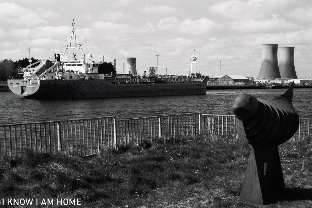
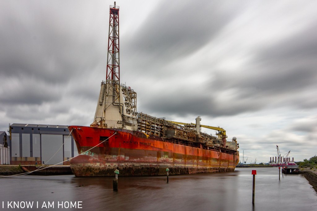
Tanker Alcedo reverses up the Tees to Billingham Reach to discharge its load.
Middlesbrough (24/04/2021)
Camera: Olympus OM2
Lens: Olympus OM System Zuiko 50mm F/1.8
Film: Fomapan 100
Developed In: Fomadon LQR

The weathered steel contrasts with its surroundings and there’s certainly something appealing about the natural form of a seal being produced from such an unnatural man made material – especially with the links back to the area in which the sculpture is placed.
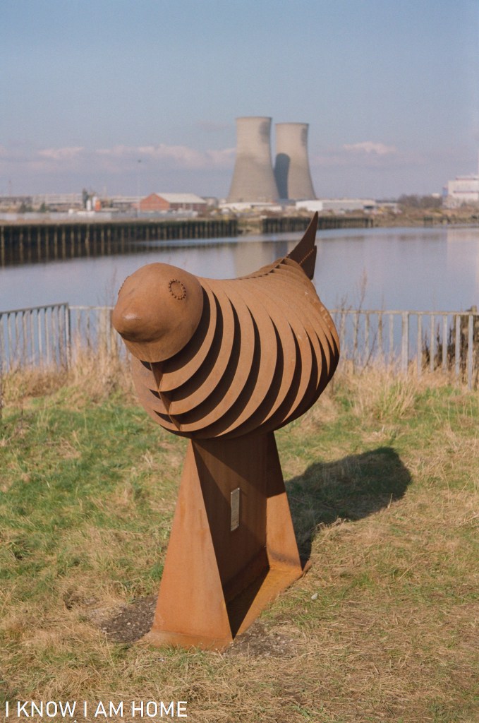
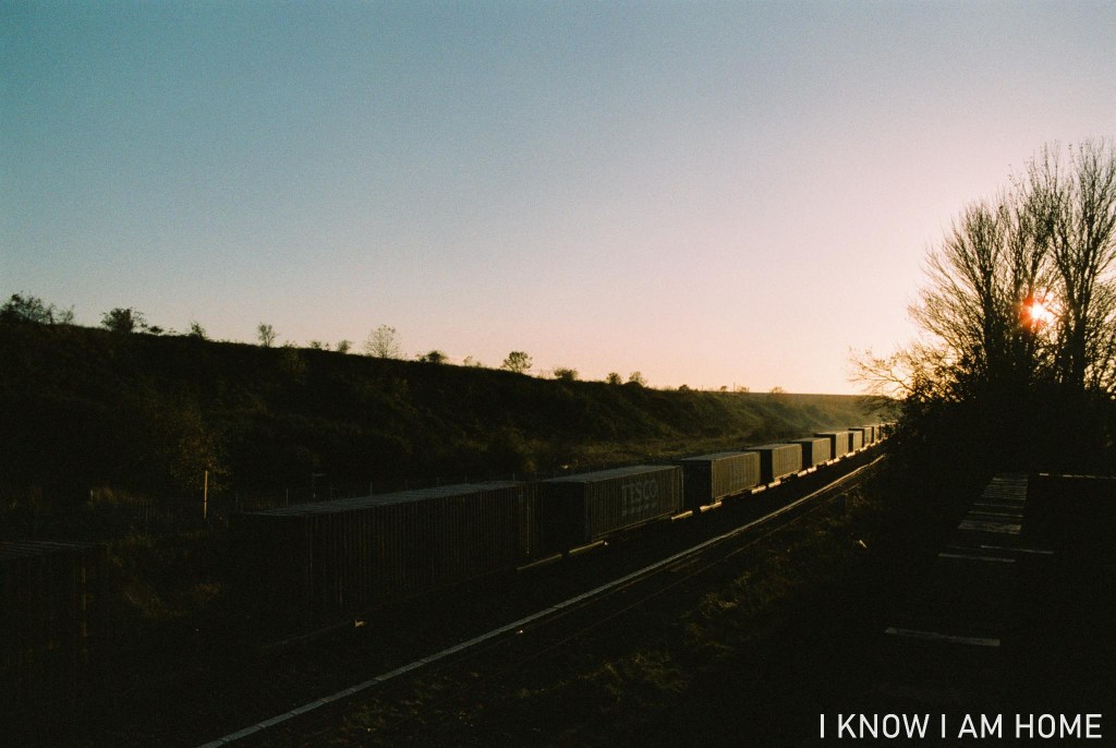
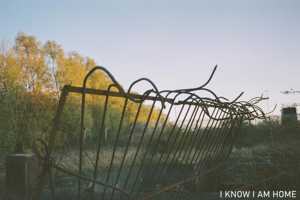
Middlesbrough (28/02/2021)
Camera: Zenit-B
Lens: Industar-50 50mm
Film: Kodak Colorplus

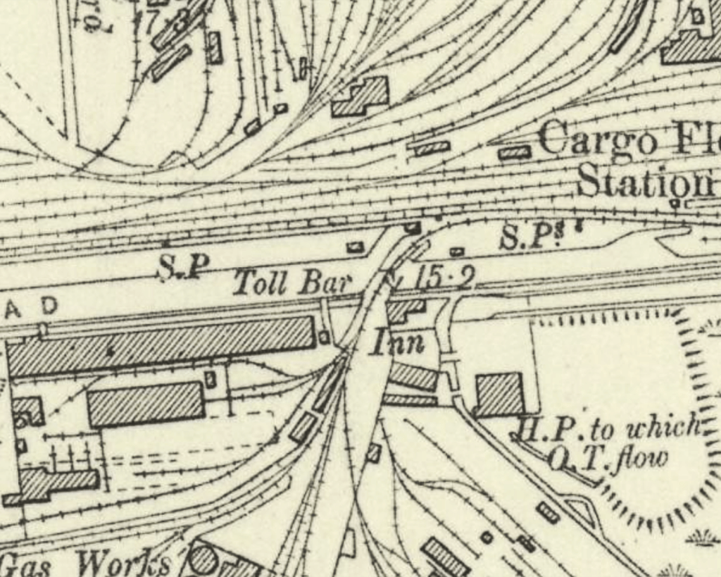
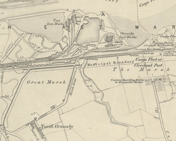
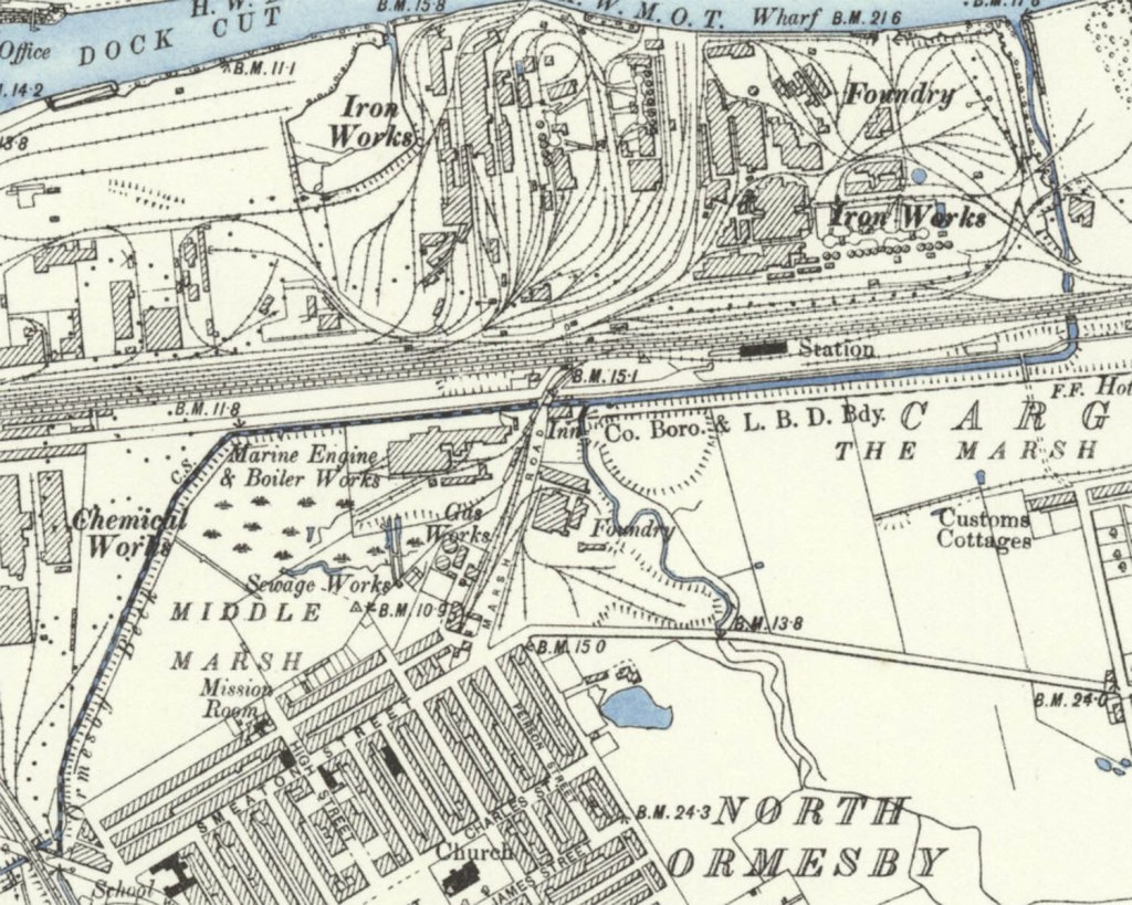
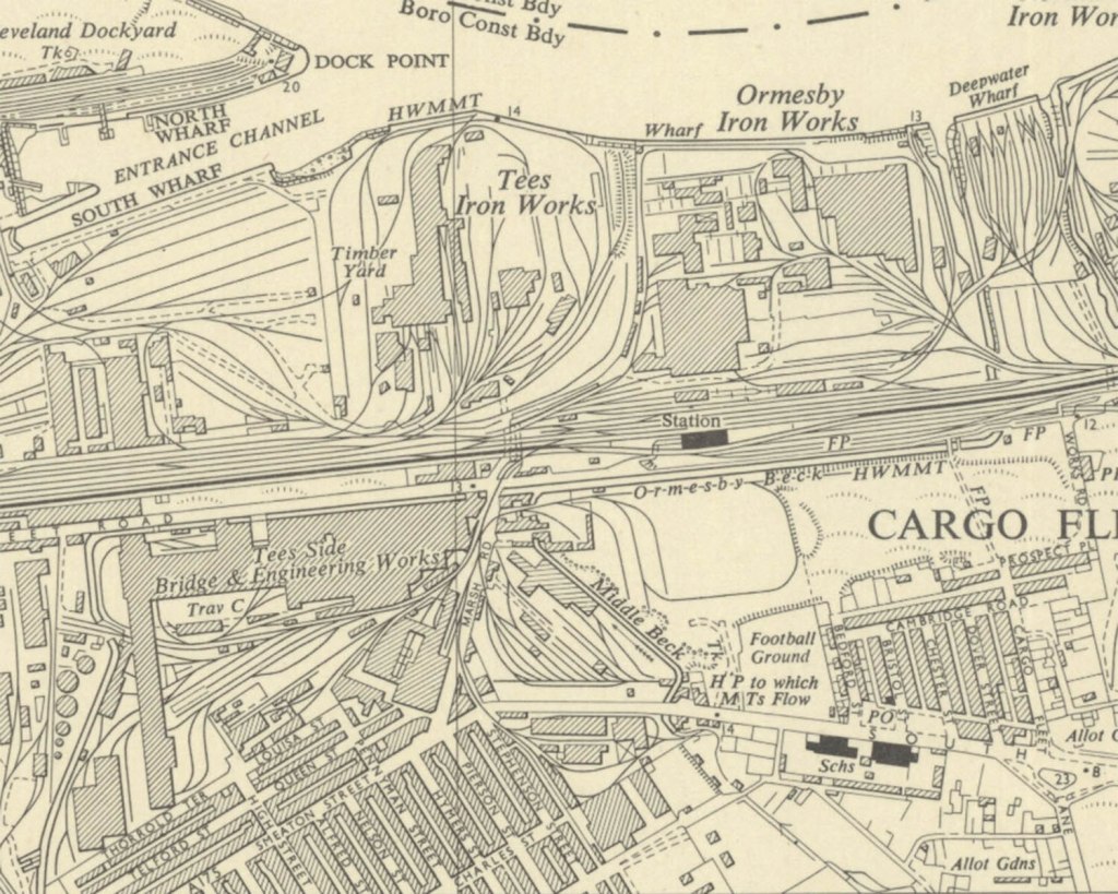
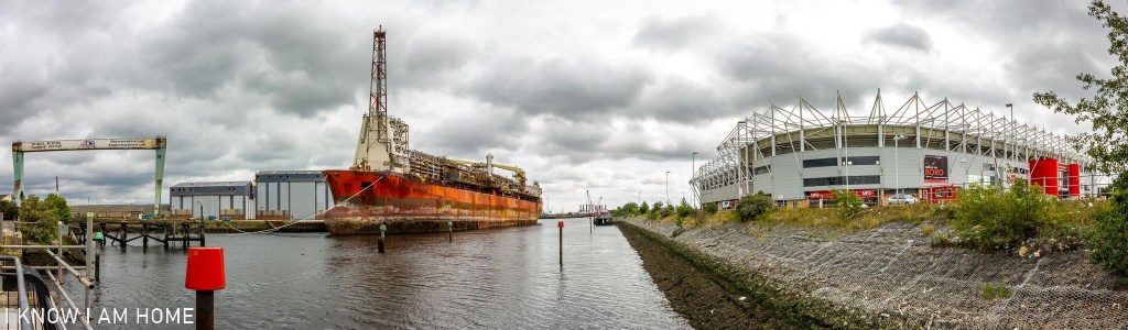
The Ironmasters’ Trail is a sometimes forgotten walk around the former iron and steal making area of Middlesbrough. The circular route starts and finishes at the Teessaurus Park, the route running past the sculpture on the river to the Newport Bridge, and also passing through the current industrial area.

Old Toll Bar

Old Toll Bar
Cargo Fleet Road
(04/11/2020)
Olympus Trip 35
Kodak Colourplus 200

Near by the Navigation Inn and Whitehouse Signal Box, aside the railway line is this delightful looking but dilapidated property. This was a toll bar, which was built around 1854.

Reproduced with the permission of the National Library of Scotland, under the Creative Commons Attribution-NonCommercial-ShareAlike 4.0 International (CC-BY-NC-SA) licence.

The idea of paying a toll to use a road in a town is mostly obsolete these days, however some notable examples of toll roads still exist including the Tyne Tunnel.
However in Middlesbrough up until 1916 charging a toll for anything other than pedestrians to use a road proved quite lucrative. This toll bar was owned and overseen by Middlesbrough Estates, however others belonged to local magnates such as Mr J W Pennyman or Lord Furness. Cargo Fleet Road is now pedestrianised at the western most end, however in the 1800’s it was a well used route in and out of the town.

Middlesbrough Corporation was keen to do away with tolls for road usage, it was proving quite a encumbrance when it came to moving goods around the town and indeed further afield.

On 31st July 1916 toll roads in Middlesbrough were abolished.

Following this the toll bar here apparently saw use as accommodation for railway workers at the near by Cargo Fleet railway station.

The Navigation Inn

Built around 1880 the Navigation Inn sits at point which was once a hive of activity, related to the port at Cargo Fleet. The building is attractive with it’s symmetrical design. However not a lot is actually written about it’s history. This is one of the many places in Teesside where I often wonder about the stories that the building could tell if it could talk…

Tiled Façade
The Navigation Inn, Cargo Fleet Middlesbrough
(04/11/2020)
Minolta AF-DL
Ilford XP2 Super

Now it stands somewhat isolated, at the back of a large new(ish) retail until, a railway line adjacent (with a soon to be closed signal box) and perched aside Ormesby Beck.

Free
The Navigation Inn, Cargo Fleet Middlesbrough
(04/11/2020)
Minolta AF-DL
Ilford XP2 Super

The change in this area of Middlesbrough was enormous. The below map is the Cargo Fleet area as surveyed in 1853.

Reproduced with the permission of the National Library of Scotland, under the Creative Commons Attribution-NonCommercial-ShareAlike 4.0 International (CC-BY-NC-SA) licence.

The land around Marsh Road and the area marked as Great Marsh is empty. However moving on to the map surveyed in 1892 not only do we see the Navigation Inn appear but also the marsh area being reclaimed.

Reproduced with the permission of the National Library of Scotland, under the Creative Commons Attribution-NonCommercial-ShareAlike 4.0 International (CC-BY-NC-SA) licence.

Furthermore the conurbations of North Ormesby have grown, the pub also had a nearby railway station (which closed on 22nd January 1990).

Moving on to a map published in 1955 the area is in boom with industry and dwellings.

Reproduced with the permission of the National Library of Scotland

Naturally, with the de-industrialising of the area the traditional “post-work pint” customers would have dwindled. Like most public houses it has its regulars and with the coming of the Riverside Stadium the pub was busy with supporters (pre-covid).

Ormseby Beck
The Navigation Inn, Cargo Fleet Middlesbrough
(04/11/2020)
Minolta AF-DL
Ilford XP2 Super

This bit of Ormesby beck runs towards the Tees via a concrete trunking, brutal, hard, forcing the water towards its end.

I stopped off here when walking home from South Bank, the day before the November 2020 lockdown.

The freight train is rolling by…

Container the excitement…
The Black Path, Cargo Fleet
(04/11/2020)
Minolta X-300, Photax Super Paragon 28mm Lens
Expired Jessops Diamond Everyday

Freight traffic has been a feature of the railways in Teesside since the coming of the railways. It was in a noticeable decline for quite some time.

Things do seem to have got slightly better though. With new traffic flows and the pushing of Tees Dock as a port, where this train of containers was headed.

Overlap

Crossing the Beck
(04/11/2020)
Cargo Fleet
Olympus Trip 35
Kodak Colourplus 200

In film photography a double exposure or multi exposure is where intentionally or unintentionally multiple images are captured on the same piece of film. This usually works best with a lower light sensitive film thus allowing more exposures.

Anyhow this is a little different, this is an overlapping exposure, where the film was only advanced part way, to create an overlapping image effect. Here the original image was taken to ensure there would be some darkness to the lower left, then a guessed advance of the film made (with the winder disengaged for some of it), then I lined up an image that would hopefully expose again in the darker area of the first image.

Part of Middlesbrough’s Skyline – Twice and the sad story after it left…

North Sea Producer
Middlesbrough

Floating Production Storage and Offloading (FPSO) vessel North Sea Producer returned to the River Tees, after an 18 year absence, in 2015. Previously Dagmar Maersk it was completed in 1984 as a product carrier. It came to this point on the Tees in 1996 to be converted into an FPSO. Becoming a prominent sight to those attending football matches at Middlesbrough’s Riverside ground, even appearing on the coverage of a match. UP THE BORO

In 2015 however the future was uncertain, the ship owned by a partnership between Maersk and Odebrecht was redundant when her work was done in the McCulloch oilfield.

The ship was sold outright and left the Tees in 2016 to see more about what happened to this ship you can visit the following webpages;
https://www.gazettelive.co.uk/news/teesside-news/north-sea-producer-gone-riverside-12033913
https://www.gazettelive.co.uk/news/teesside-news/works-scrap-north-sea-producer-12087477
https://shipbreakingplatform.org/spotlight-north-sea-producer-case/

By no means do I support or not support any assertions made on these sites, but I do believe that when a proven company such as Able UK were a stones throw from the Tees, who have dismantled a number of ships and oil platforms and associated materials it would have been the obvious and safest choice, especially if the end game for the North Sea Producer was recycling. It would have also enriched local employment.

Considering there is independent evidence that child labour is used in the shipbreaking yard in Bangladesh, I don’t feel profit should ever be put before lives.

Well Trod’n Path

For a short time I used to work in a public rights of way team in a local council.

One of my pet projects when there was looking at Sailors Trods, paths marked on a few old OS maps.

Whilst digging about in the Teesside Archives, then superimposing a map onto a current mapping layer using some software, I found that a Sailors Trod was marked on a line which looked to be right behind the office I worked in. I took my camera out to take a photograph, sad I know!

Surveyed: 1853
Published: 1857

Reproduced with the permission of the National Library of Scotland, under the Creative Commons Attribution-NonCommercial-ShareAlike 4.0 International (CC-BY-NC-SA) licence

The Sailors Trods were paths which allowed river pilots and other people linked with shipping and boats on the Tees to walk between Cargo Fleet (or Cleveland Port) and a point near what is now Newport Bridge, and indeed from either destination to points beyond.