There are a number of reminders how the Ordnance Survey used to map the land, some like trig points were used for accurate mapping of the National Grid. Benchmarks however are survey marks made by the Ordnance Survey, fixed points which were used to calculate a height above mean sea level. The flush bracket found in Saltburn on the railway station building can be found elsewhere on this website.
The benchmarking system hasn’t been used now for nearly 30 years, with modern GPS methods taking over. But there’s a number of these benchmarks left, and today we’ll look at some of the benchmarks found in Saltburn by the Sea.
Emmanuel Church
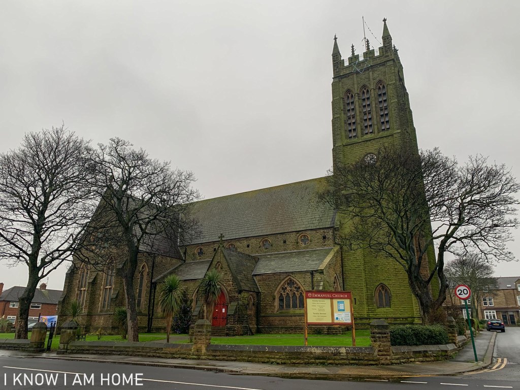
Built by JP Pritchett of Darlington between 1867-1869 Emmanuel Church is the site of an OS Benchmark.
Carved into the sandstone, on a wall facing Windsor Road, is this weathered benchmark. From walking height this was a bit tricky to spot!
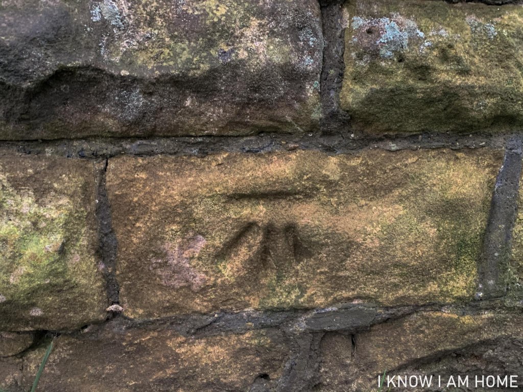
Hilda Place Bridge
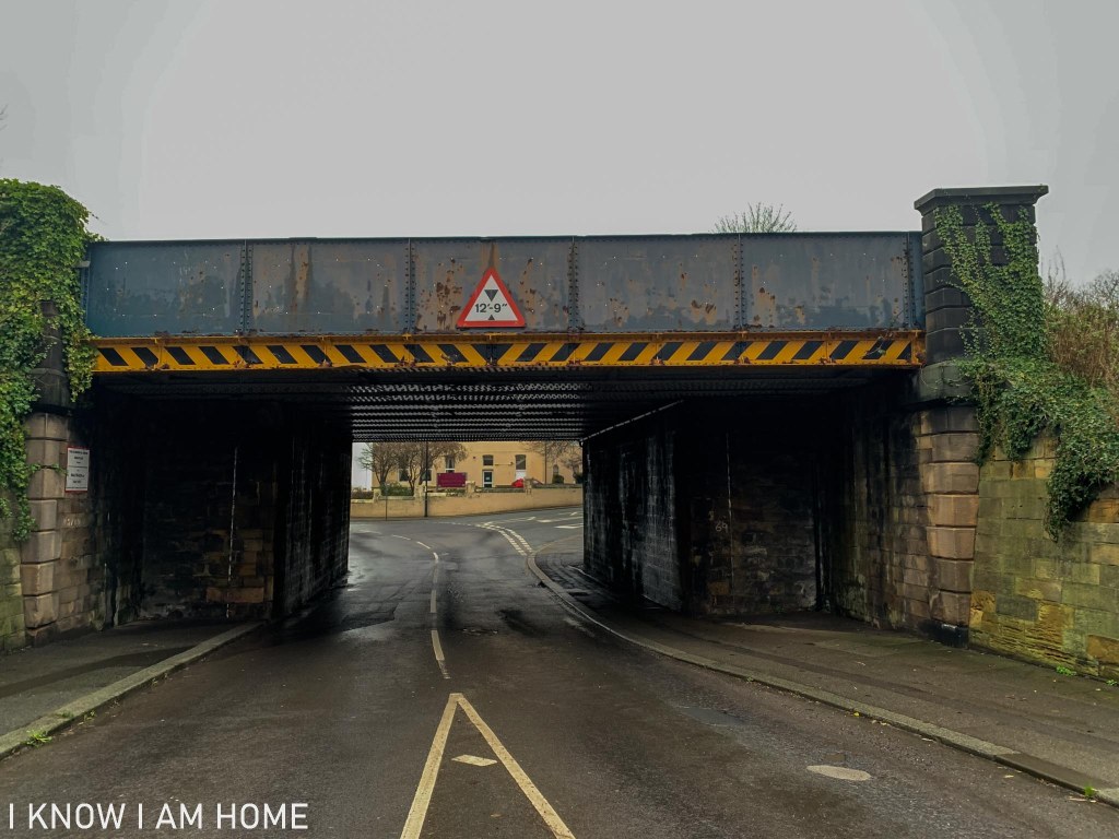
Another is a benchmark found on the railway bridge bringing the “Tees Valley” line to the station (there was one on the bridge which is now for the line to Boulby too but that’s been remodelled).
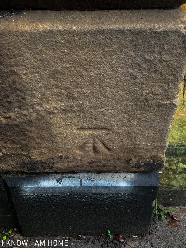
The benchmark here is carved on the abutments of the bridge…
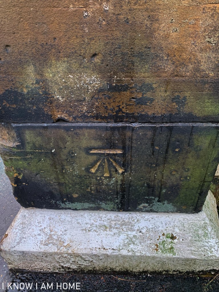
Tweed Street / Albion Terrace Junction
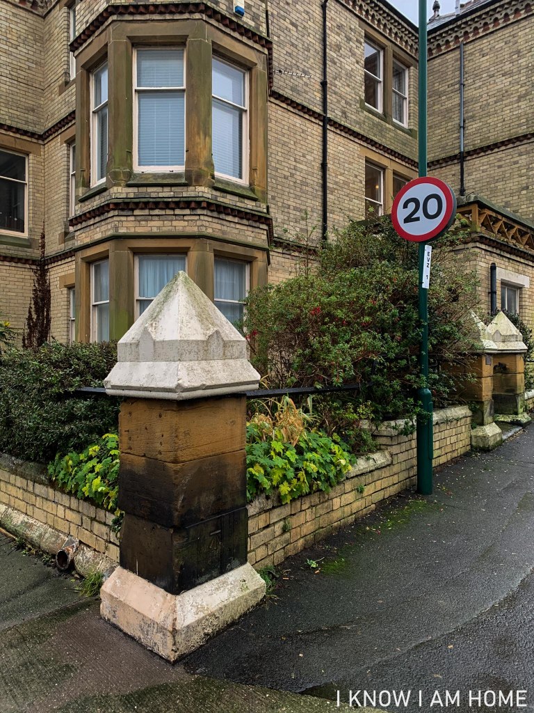
The last benchmark for this post at least is this one, found on the outer wall of Glenhow which sits at between the junctions of Albion Street and Lune Street and the junctions of Albion Street and Tweed Street. The benchmark faces North.