(09/12/2020)
Olympus Trip 35
Expired AGFA Photo Vista Plus 200
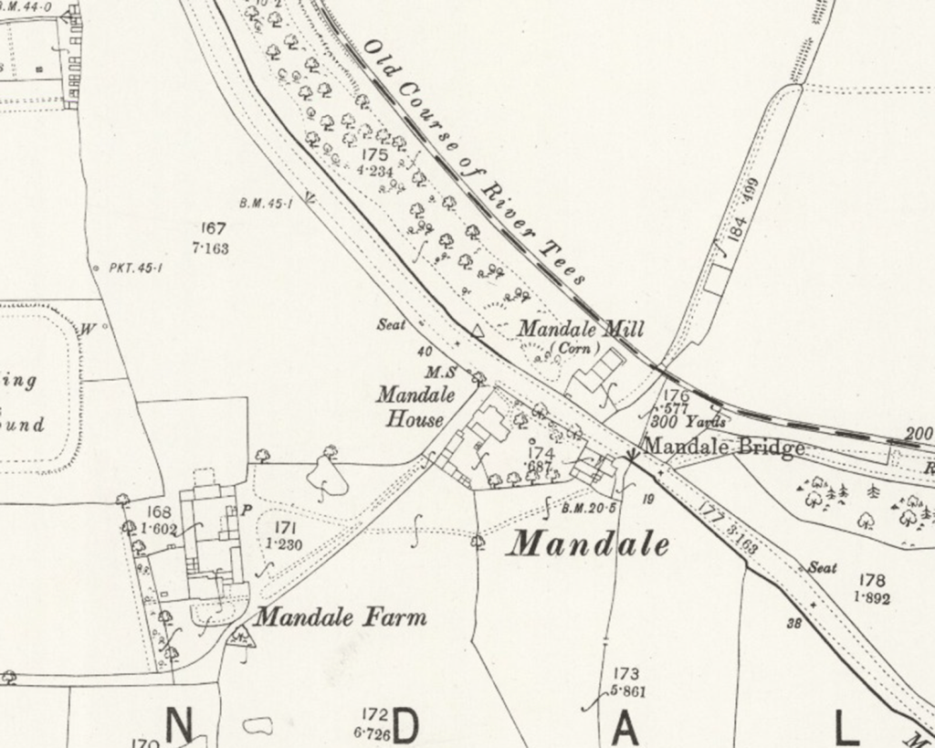
The area around Mandale Bridge was home not only to a mill, but an inn and Mandale Farm.

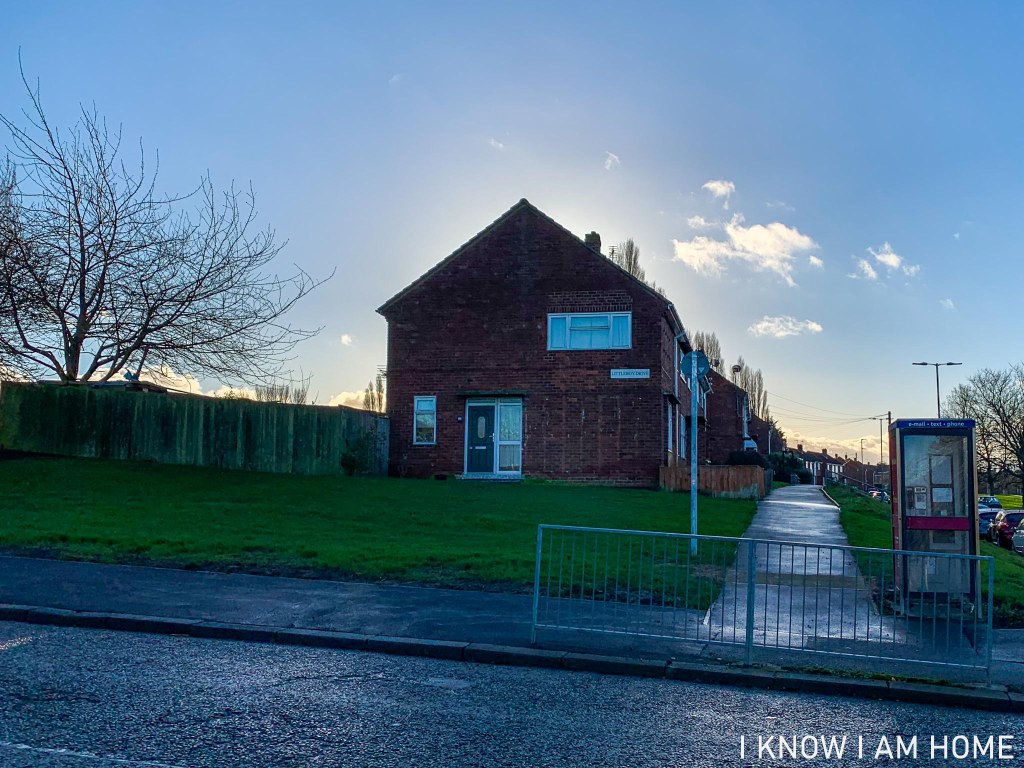
In a map surveyed in 1853, a windmill is sited at a point which would now be on Littleboy Drive in Thornaby. The map also includes a public house named the “Windmill Inn”, sitting at a point which we could now reconcile as being on the grounds of Mandale House Care Home.
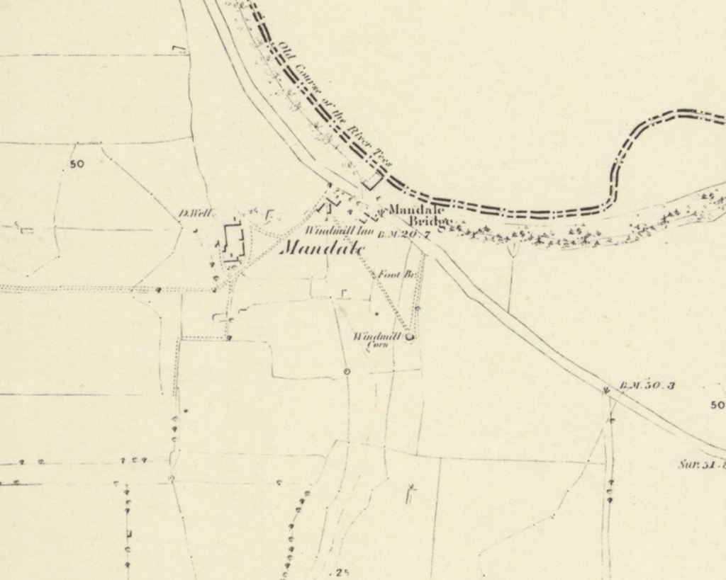
Despite the thought that the windmill was the result of the cut being made in the Tees resulting in the water mill becoming unfeasible, research of maps and other contemporary evidence shows that this most likely is not the case.
In a map dated as being surveyed in 1892 the windmill is gone; however a trigonometrical point is listed roughly where the windmill would have been.
Also on a larger scale 1892 map the building by the old River Tees is displayed as a corn mill, the next available map of the same scale does not show the building listed as a mill at all.
The lack of a mill in subsequent maps and the change of locations could be explained by some of the factors below, you see mills around the Mandale Bridge area also have a tragic and mysterious history.
In 1891 Mandale Mill was destroyed by fire. The Northern Echo of 6th May 1891 reports that the previous night the mill, owned by Lord Harewood but run by Mark Robinson, had caught fire. Despite the best efforts of the fire brigade the mill was gutted and lay in ruins. The mill at the time was said to have been powered by both steam and wind. It is unclear if this refers to the windmill, or the larger mill building by the old course of the river. However it is said that the building which was destroyed contained a considerable quantity of grain, and machinery which was also destroyed. This may explain why by the 1892 map the windmill is no longed mapped and the mill has moved to the building adjacent to Mandale Bridge.
On the morning of Saturday 20th May 1893 a body was found in the River Tees at Stockton. The body was that of Mark Robinson. Mr. Robinson was resident at Mandale Farm and had been nominated as a Justice of the Peace though at the time it was believed he did not qualify. Through subsequent research I have found he was a Justice of the Peace.
Aside from farming at Mandale Farm Mr. Robinson, a member of the Lodge of Philanthropy, was a partner of the timber merchants firm Robinson, Anderson & Co. which formed as a iron and timber producer in 1842, known as Robinson, Knights & Co., until being taken over by Mark Robinson and Charles Anderson around 1880.
Indeed in the Bulmer’s directory of 1890 Mark Robinson is listed as a timber merchant at Tees Saw Mills, farmer of Mandale, and Miller of Mandale Mill. More than this he was a former partner in a cabinet and furniture makers too.
An 1893 edition The Yorkshire Post tells us that the deceased left home at around 6 o’clock on the morning of Saturday 13th May, however The Yorkshire Herald says that particular week he had been rising at around 5.30 in order to stocktake at the mill. This morning he was seen by his farm foreman, and was seen in the village of old Thornaby soon after. When leaving home Mr. Robinson indicated he was going to the timber yard office.
His disappearance was solved tragically when his body was found in the Tees at Victoria Bridge at Stockton. A watch found in Mr. Robinson’s pocket had stopped at 6.20. However having been missing for a number of days, when exactly he entered the water is questionable.
The Yorkshire Herald of 23rd May 1893 tells us an open verdict was returned by the jury despite there being letters found indicating that Mr. Robinson was feeling depressed and expressed a feeling of wanting to end his life.
48 years of age he left his wife Margaret Robinson nee Garbutt, and three sons. The family who had been tenants of the Lords Harewood (Margaret’s family farming on Harewood land for generations) remained on Mandale Farm the 1901 census lists Margaret and her son’s Mark Robinson aged 23, Norman Robinson aged 19 (James Robinson aged 16 was boarding at an address in York for education).
Aside from this tragic story in later years a woman was found having died of exposure in the yard of the mill and in 1890 a former domestic servant of Mr. Robinson at Mandale Farm was murdered.
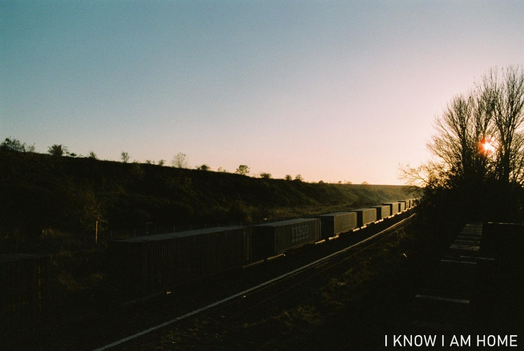
Freight traffic has been a feature of the railways in Teesside since the coming of the railways. It was in a noticeable decline for quite some time.
Things do seem to have got slightly better though. With new traffic flows and the pushing of Tees Dock as a port, where this train of containers was headed.
An area over just over 3 acres sits to the east of Acklam Road in Thornaby, this is Harewood Pleasure Gardens.
This land was donated to the people of Thornaby in 1906 by Lord Harewood (Henry George Charles Lascelles, 6th Earl of Harewood), the Lascelles family having links to Thornaby for a number of years, with Francis Lascelles purchasing Thornaby Manor in 1612.
Officially opened in 1909 and a war memorial added in 1921 the gardens were restored in 2008.

There were improvements made in order to compensate for vandalism and a reputation for anti social behaviour.
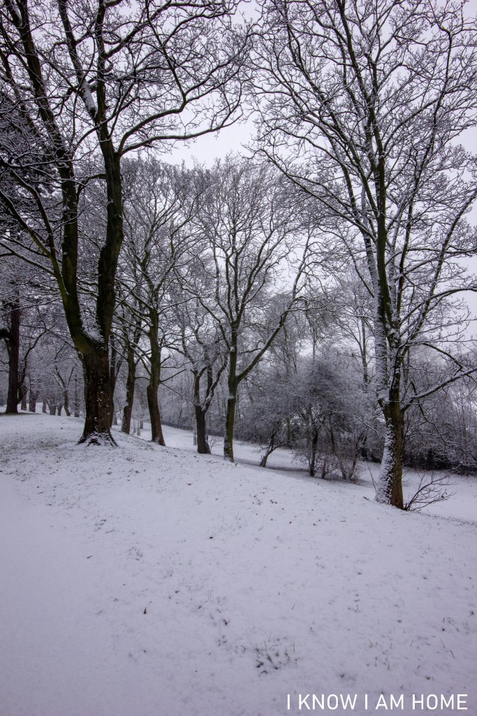
The park remains a pleasant area for a walk, whatever the weather!
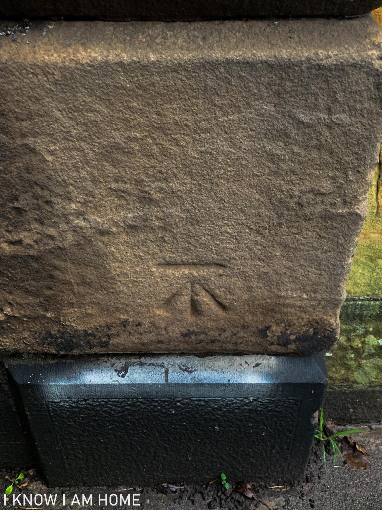
There are a number of reminders how the Ordnance Survey used to map the land, some like trig points were used for accurate mapping of the National Grid. Benchmarks however are survey marks made by the Ordnance Survey, fixed points which were used to calculate a height above mean sea level. The flush bracket found in Saltburn on the railway station building can be found elsewhere on this website.
The benchmarking system hasn’t been used now for nearly 30 years, with modern GPS methods taking over. But there’s a number of these benchmarks left, and today we’ll look at some of the benchmarks found in Saltburn by the Sea.
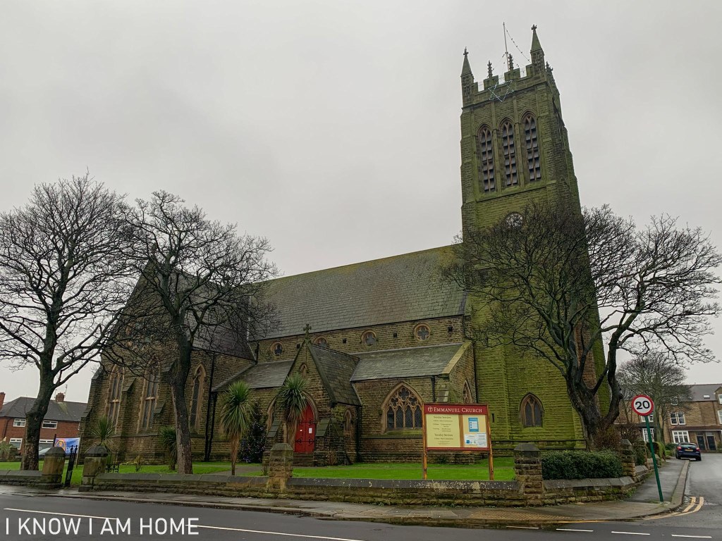
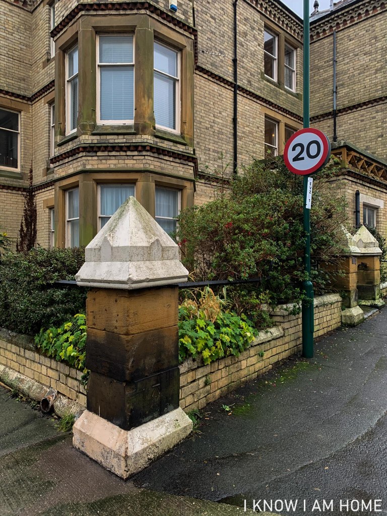
Built by JP Pritchett of Darlington between 1867-1869 Emmanuel Church is the site of an OS Benchmark.
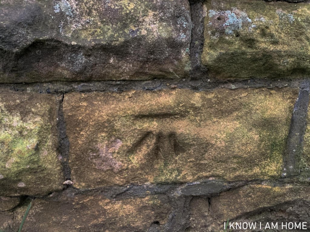
Carved into the sandstone, on a wall facing Windsor Road, is this weathered benchmark. From walking height this was a bit tricky to spot!
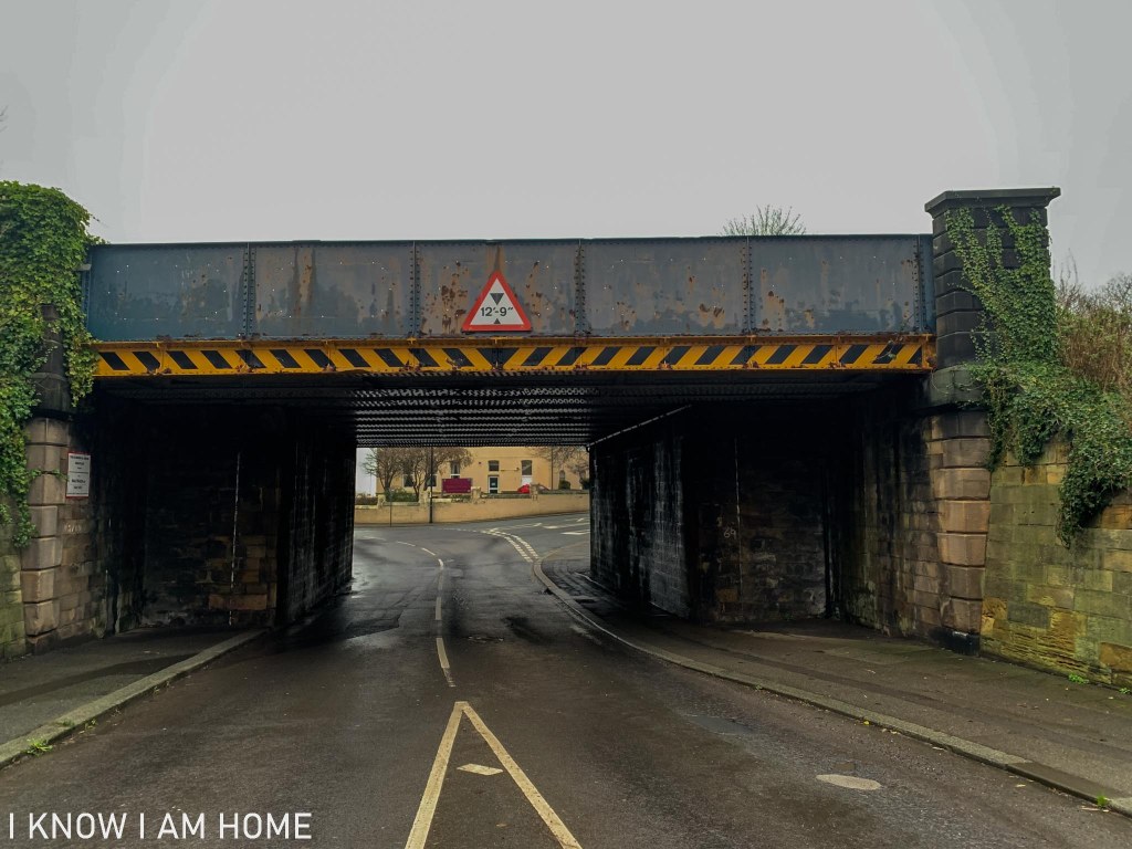
Another is a benchmark found on the railway bridge bringing the “Tees Valley” line to the station (there was one on the bridge which is now for the line to Boulby too but that’s been remodelled).
The benchmark here is carved on the abutments of the bridge…
The last benchmark for this post at least is this one, found on the outer wall of Glenhow which sits at between the junctions of Albion Street and Lune Street and the junctions of Albion Street and Tweed Street. The benchmark faces North.
A little North of the usual area of scope of the site however vitally important to the history and heritage of the area is this book, co-wrote by a friend of mine.
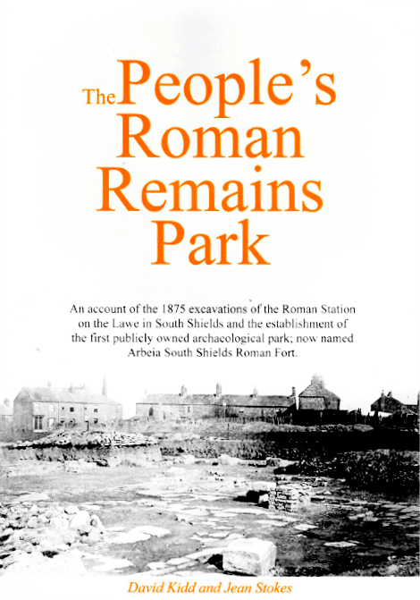
The book tells the story of the first public owned archaeology park in South Shields, which would later become Arbeia, South Shields Roman Fort…
(somewhere I’m sure many a school trip from Teesside and the surrounds would’ve took place – I know mine did!)
The book tells the interesting story of the original excavations, with unrivalled access to finds, photographs and the notebooks of Robert Blair.
Not only does this tell the story of the dig it also brings in the equally interesting histories of those who were involved.
It’s available for £15 including post and packing and copies can be ordered from Harton Village Press by emailing jastokes@virginmedia.com
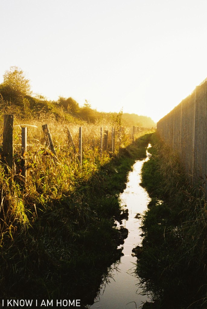
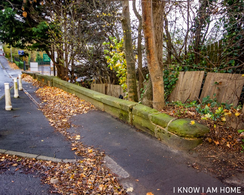
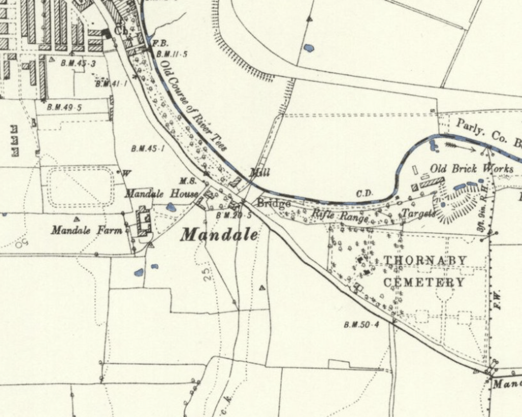
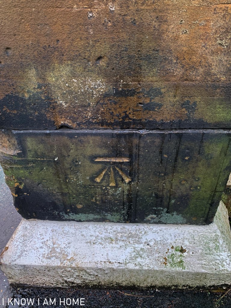
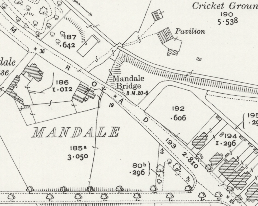
Near to the course of the old River Tees (negated by Mandale Cut) is this bit of stonework, on one side of Acklam Road only. This is Mandale Bridge, Mandale Beck passing under in order to join with the Tees.
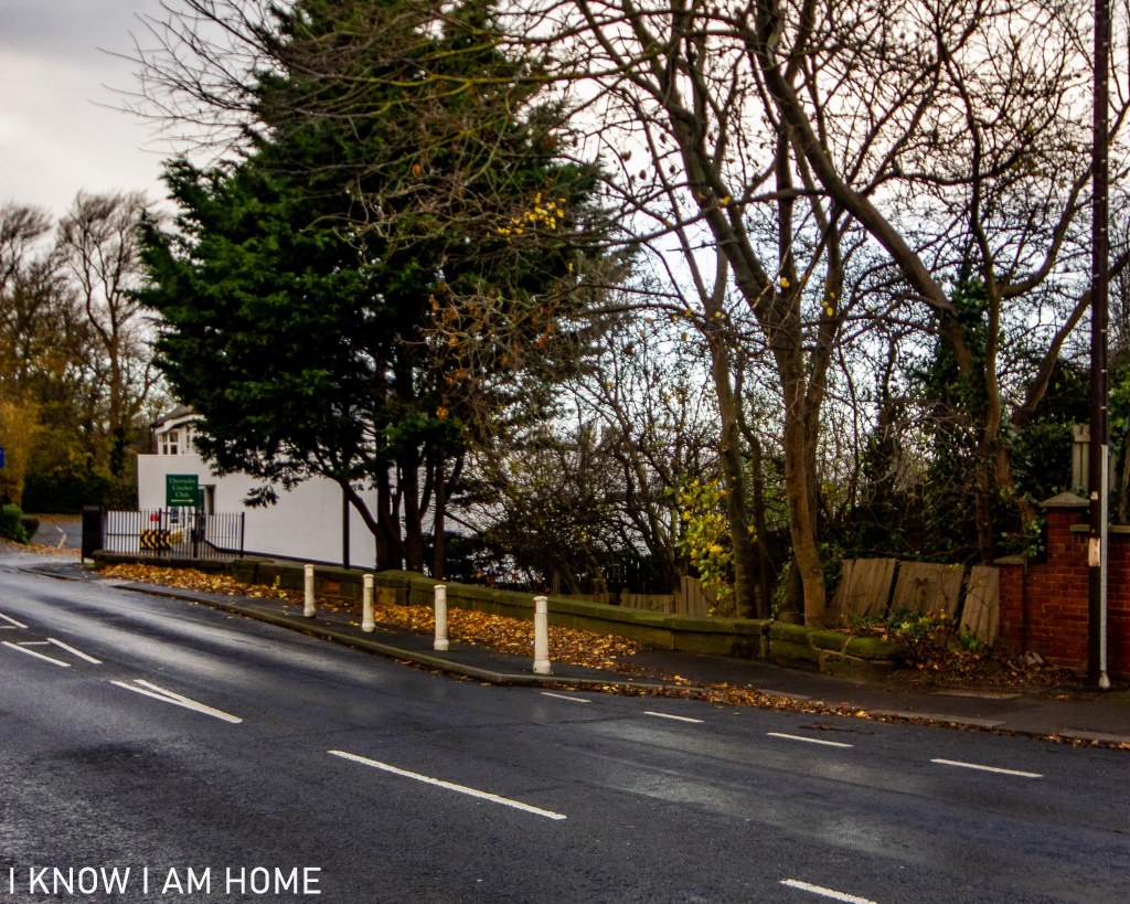
The area indeed is to be found on OS mapping labelled as Mandale Bridge, with also Mandale Mill (a corn mill according to some maps) occupying the area where a white building can be seen in the background (currently a golf club building).
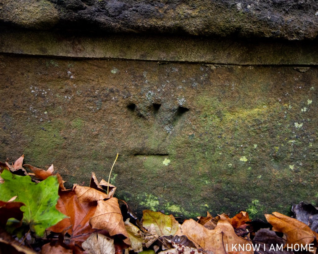
Another Ordnance Survey link here is the benchmark which appears on the bridge, seen also on the map…
Back in the 1800’s the road here was the main road between Stockton and Guisborough. As seen in the following indictment from Quarter Sessions in the 1800’s.
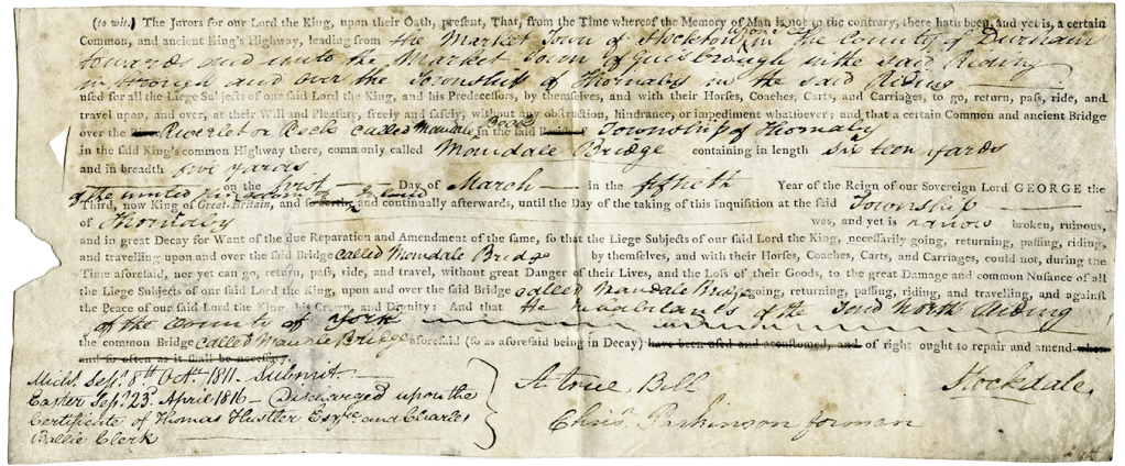
The indictment states that Mandale Bridge was somewhat neglected by those in the township of Thornaby, and had fallen into a ruinous state. Submitted in October 1811 it was then discharged upon the certificate of Thomas Hustler and who I assume to be the Right Worshipful Charles Baillie, Clerk and Archdeacon of Cleveland, in 1816.
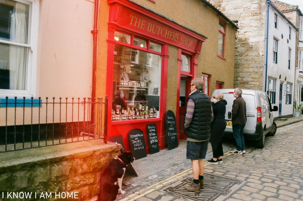
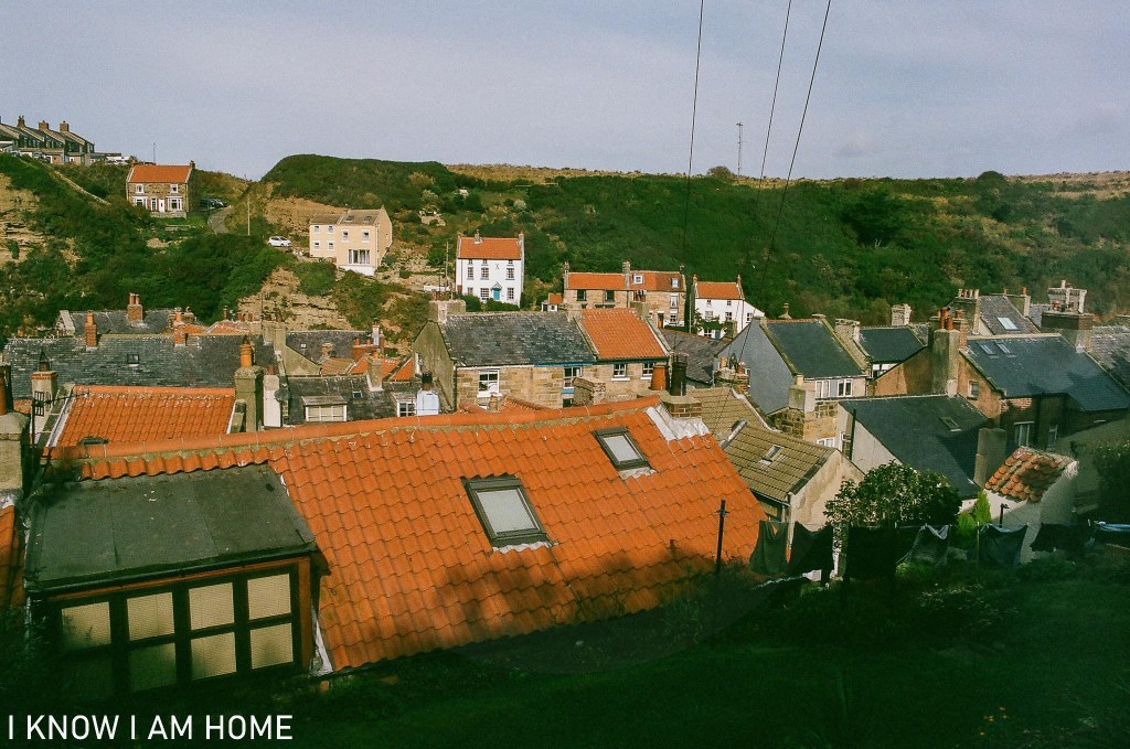
I posted a couple of images of the village of Staithes through the week, these were taken earlier in the year between the lockdown periods…